1. Date and Time : April 12, 2018 10:15~16:55 (6 hours and 40 minutes including break hours).
2. Location : Bukhansan Mountain in Seoul.
Distance and
Course : About 15.00km. Course is to start Bibong Information =>Geumseonsa
Temple => Bibong (556m Altitude) =>Samobawie => Seunggabong (567m
Altitude) => Munsubong (727m Altitude)=>Munsusa Temple=>Gugi Ranger
Station. As introduced at KNPS (Korea National Park Support) linked at below,
you may shorten time and distance to 2 hours and 40 minutes and 7.6 km
respectively in case you return directly from Bibong Peak to Bibong
Information, not continue to Seunggabong and Munsubong. http://english.knps.or.kr/Experience/ParkContent.aspx?SEQUEN=25&ParkDiv=01&HikDiv02=01&MenuNum=1&Submenu=Npp&Third=HikingCourses&Fourth=01 ,
3. Access :
There is various ways to come to Obong
Information by means of public transportation. But I suggest you may use Subway
(Line No. 3 or 6) Line connecting to local Bus line (No. 7212) which you get
off from subway and exit Gate 2 and cross Street and left turn and walk about walk
total 200m where you take Bus No. 7212 at Bus Stop-Bulkhwang Stations and get
off Iebukodochung Bus Stop (5 stops and takes about 13 minutes. You are
requested to walk from there to Bibong Information on foot, about 604km referring
to Walking Map attached. If you use private car or taxi for the transportation,
you may directly approach to Information where you can start to straight
forward to climb Bibong Peak. On the way back to Bulkhwang Station, you may
take a same bus 7212 at Bus Stop-Gugidoang Hyundai Villa referring to attached
Bus Stop photo. But there are two courses with 7212 Bus, the one goes at the Junction turning to left and the other to right. Therefore you are suppposed to ask the dirver saying Bulkwang Yeo?. If he answer "Yes" or "O.K", you can take the 7212 bus. If he say "No", you should not take that bus and wait next 7212 bus as attached information herein.
4.
Overall Remarks.
As stated at the Obong Peak Couse last time, this
Bibong Course can be also classified as medium high level hard and difficulty and
generally well organized with proper safety system as long as you keep
following Course Guideline and Safety instruction. This Course can be organized
with 2 or 3 different courses. First Course is to climb to Bibong and connect
Seunggabong and down to Gugi Information and Support Center through Seunggasa
temple and Secondly from Bibong to Munsubong via Seunggabong and down to Gugi Information
and Support Center as I took this time. Please see the Bibong Climb Course
attached.
5.
Detailed
Course Information
I started
to walk to Bibong Information from Bus Stop-Iebukodochung as you see at
attached photo and passed Iebukodochung Office at right and went on walking to smooth
hill in reference to Geumseonsa Temple Landmarks. You can reach to Bibong
Information Center after 15 minutes walking from the Bus Stop where starts
climb on round medium size stone stairs as see at the photo. You will meet
three way junction after about 10 minutes climb where you can turn left to Geumseonsa
temple, 100m and the other is to climb Bibong peak, 1.4km. It became so sharp
slopped rocky and hilly pass from the junction I realized this Course should
not easy and very hard today. I found land mark saying Daenammun 3.2km about 20
minutes climb from the junction and met landmark saying 800m to Bibong after 30
minutes from previous landmark where I could start to walk on Darak Ridge. I
reached landmark saying to Jokduribong 2.3km. But we can only refer to the
direction since we would not go to Jokduribong today after 20 minutes walking
from previous landmark. I walked comparably mild road at Darak Ridge and
reached Bibong Peak after 5 minutes walking on the ridge as see at the photo. I
continued to walk on mild ridge about 20 minutes and met Samobawie (Bibong-556m
altitude) where North Korea Guerilla (21 solders) used to shelter Samobawie
cave for trying to attack Korea Green House io January in 1968 as you see at
the attached photo. But they failed and were killed except one or two,
disappeared. There are convenient and enough area for break and take a rest at
Samobawie. I also took nice lunch and rest at this place, about one hour. There
is spectacular view of surrounding peak at Samobawie Observation Point showing Munsubong,
Bohyunbong and Nahyunbond as you see at the photo. When you walk, you should
meet big rock obstacles in front and detour the rock either left or right
according to road sign or trace. You should take direction to Daenammun from
Samobawie and meet landmark saying 1.7km after 10 minutes walking from lunch
break. You would meet Seunggabong (567m altitude) after about 20 minutes
walking from previous landmark where spectacular Bohyunbong Peak back curtain. I
came down sharp slopped rocky hill with guard hand rail and very careful and
attention for downhill. I passed rocky narrow pass and connect to so hard slope
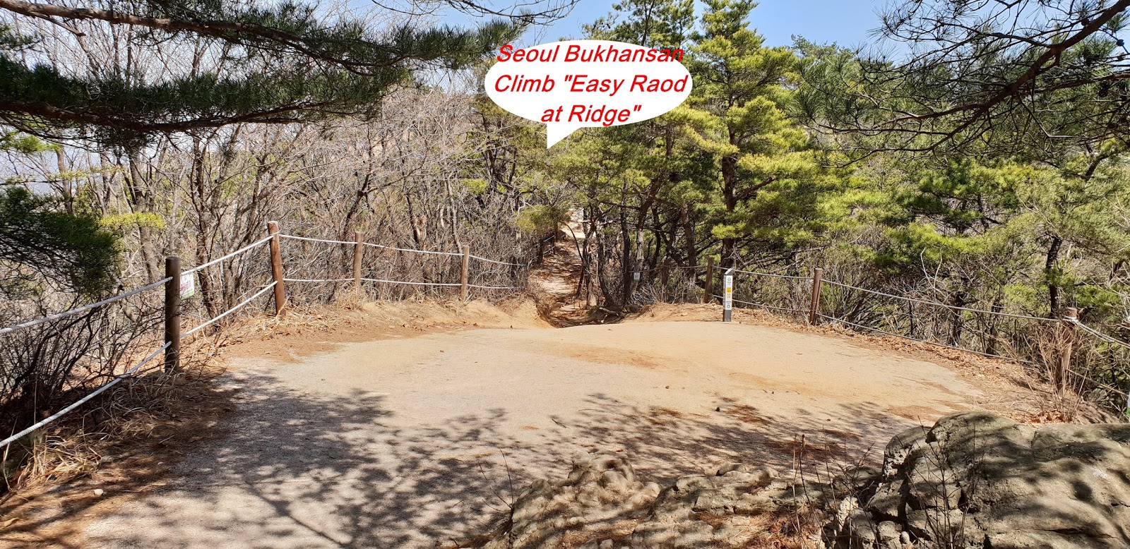
downhill with guard rail again as you see at photo. I met junction saying left route
easy way and right route hard way somewhere Munsubong Peak and choose easy
route tuning left. I walked about 5 minutes and met landmark saying Daenammun
800m and reached Bukhansansung Ammun after 20 minutes so hard sloped rocky and
hilly route as you see at the photo. But I should still continue to climb sharp
slopped hill and finally reached Munsubong (727m altitude) after 20 minutes
from Ammun. There are unnamed several amazing stones under Munsubong Peak as
you see at the photo. I walked about 10 minutes and reached Daenammun saying
2.5km Gugi Ranger Information and Support Center. I quickly dropped Munsusa
Temple nearby Daenammun, 150m as you see at the photo and took a so nice view
of Bohyunbong view at Munsusa pass. It was long wooden stairs and rocky and
stone road from Daenammun and reached landmark saying 2.2km to Gugi Ranger Center
after about 30 minutes walking down. I walked down half an hour and found landmark,
1km to Gugi Ranger Center and finally met the Center after 30 minutes more
walking down. I walked down on paved road, passenger car to bus stop-Gugi Hyundai Villa alongside
valley stream at right and reached junction connecting climb route to bus transporting
street and cross the street met Bus Stop-Gugi Hyundai Villa and took bus No. 7212
and dropped at Bus Stop- Bulkhwang Station at subway line 6. 


댓글 없음:
댓글 쓰기