1. Date and Time : Jan
09, 2018 09:30 ~16:00 (6 hours 30 Minutes including one hour break).
2. Location
: Eunpyeong-gu (District), Seoul City, Korea
3. Distance and Course : About 8.9km.
Course is to start at Samcheonsa Temple Parking Lot => Buamdong Amun (small
gate) => Nawolbong Peak (571m Altitude) => Nahanbong Peak (581m Altitude) => 715 Bong Peak (715m
Altitude) => Munsubong Peak (727m Altitude) => Cheongsudong Amun (small
gate) and back to Samcheonsa Temple Parking Lot. Please refer to Bukhansan Munsubong
Peak Hike Course Map and https://www.youtube.com/watch?v=kcwMgbn43k4&feature=youtu.be
4. Overall Mountain Explanation.
Inside the Samgaksan mountain, alternative name of Bukhansan and triangle
mountain among Baekwundae Summit (836.5M Altitude), Mankyungdae Peak (799.5m
Altitude) and Insubong Peak ( 830.6m Altitude) as nominated as a National Park,
there are lots of clean and spectacular valleys among major rock peaks made of
granite. It gives a beautiful view, and there live over 10,300 species of
animals and plants inside. Also, it offers various historical and cultural
relics including Bukhansansung (Fortress) which has the history of 2,000 years
since the era of 3 States and over 100 temples and shrines. It is known to
climbers that hiking course from Uisangbong Peak to Munsubong Peak through Yongcheulbong
Peak, Yeonghyeolbong Peak, Jeungchuibong Peak, Nawolbong Peak, Nahanbong Peak,
715 Bong Peak are the most hard and severe hike course at Bukhansan Mountain.
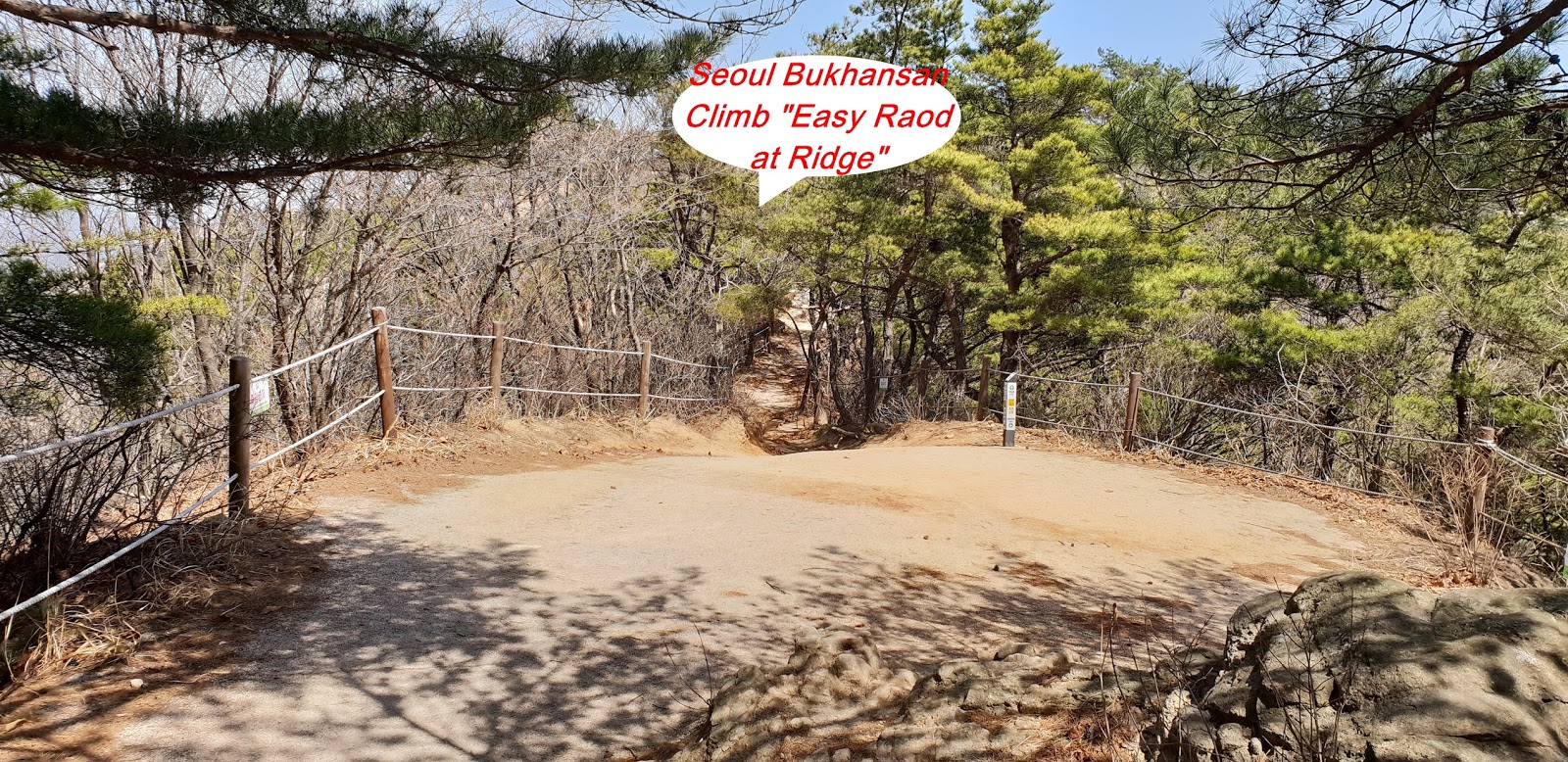
5. Detailed Hike Course Explanation.
I parked a personal car at Samcheonsa temple today
since I started to ascend to Buamdong Amun (small gate at fort castle) from
Samcheonsa temple and turning right at the Amun Junction to continuously climb
over four peaks, Nawolbong Peak, Nahanbong Peak, 715 Bong Peak (715m Altitude)
and Munsubong Peak (727m Altitude) and down hilled to Cheongsudong Amun
Junction sand back to Samcheonsa Temple Parking Lot. I checked and confirmed at
Weather Forecast dust level was fine and good before move to the Samcheonsa
Temple and found dust level was not so good and clear when I arrived at the Temple
as see at the photo. I prepare to climb the Munsubong Peak hike course fine and
briefly looked around temple and Mayae Yeorae Ipsang Standing Buddha engraving
at big rock. But I could not approach the temple main hall due to renovation or
repair works. I started to ascend the Bukhansan through valley stream and
heading to Buamdong Amun for a quarter minutes and found first landmark stating
as 2.4km to Bibong Peak and 2.8km to Daenammun at straight. I carried on the
same rocky and stony road for some more half an hour and reached junction mark;
2.3km to Daenammun at right and 900m to Buamdong Amun at left. I turned left at
the junction and headed to the Buwangdong Amun Junction and arrived at the Junction
after about 40 minutes hard uphill road. I was expecting dust situation would
be somewhat improved but it was similar situation, no improvement. I turned
right at the junction and kept on walking slopped ridge road for 20 minutes and
found so spectacular view of Bukhansan Summit as see at the photo which is at middle
of the picture and Mankyungdae Peak at right and remotely Insubong situating
between these two peaks. I also saw peculiar rocks at Nawolbong Peaks and Yeonghyeolbong
Peak and Jeungchuibong peak slightly down below as see at the photo. I was continuously
heading to Nahanbong Peak about half an hour more and reached Nahanbong Peak
where I could somewhat closely see 715 bong and Munsubong which was sometimes hard
course climbing over so steep and slippery rock under full support of safety steel
rope and anchor. I struggled on these hard and difficult roads for about 40
minutes and touched down Munsubong Peak (727m Altitude) and shot nice picture
of around spectacular peaks and weird rocks. I down hilled as soon as I finished
shots at Munsubong Peak and got down to Cheongsudong Amun Junction after about
a quarter minutes and confirmed branching road to 4.2km to the Samcheon
Information Center at left. I turned left at the junction and walking down
through steep downhill road for about 15 minutes and met junction between 1.5km
to Bibong at straight and 3.5km to Samcheon Information Center at right and turned
left and continuously descending on steep rocky road for about 40 minutes and
reached landmark stating as 2.4km to Samcheon Information Center at straight. I
found and felt road conditions were worse and tougher than before and even sometime
hard to find correct road because bigger rock and fallen leaves covering the
road. I was walking down through these raod more carefully and sometime checked
and checked again. When I almost struggled on these tough and hard road for some
more half an hour and returned to three way Junction, 1.9km to Samcheon
Information Center at left and 900m to Buamdong Amun at right, where I passed
this junction this morning on my way heading to the Buamdong Amun. I turned
left at the junction and carried on the same rocky sloped road at or along with
the stream for half an more and returned Samcheonsa Temple Parking Lot after
six and half an hour hiking including one hour break.
 |
| Samcheonsa Temple Parking Lot |
 |
| Samcheonsa Maae Yeorae Ipsang Standing Buddha Engraving on Big Rock |
 |
| Maae Yoerae Ipsang Standing Buddha |
 |
| First Landmark; 2.4km to Bibong Peak and 2.8km to Daenammun at
straight |
 |
| Landmark; 2.3km to Daenammun at right and 900m to Buamdong
Amun at left |
 |
| Buwangdong Amun |
 |
| Buwangdong Amun Junction; ; 1.5km to Daenammun at right and 2.8km to Samcheon
Information Center |
 |
| Peculiar rocks at Nawolbong Peaks |
 |
| Yeonghyeolbong Peak and Jeungchuibong peak slightly
down at Nawolbong Peak |
 |
| Series of Jeungchuibong Peak, Yonghyeolbong Peak and Yongchulbong Peak at Nawolbong Peak |
 |
| Munsubong Peak (727m Altitude) at Nahanbong Peak |
 |
| Odd Rocks Around Munsubong Peak |
 |
| Spectacular View of Bukhansan Summit at middle of the Picture, Mankyungdae Peak at right and remotely Insubong situating between these two peaks |
 |
| 715 Bong Peak (715m Altitude); 400m to Daenammun (Great South Gate) |
 |
| Nawolbong peak and Nahanbong Peak Viewing at Munsubong Peak |
 |
| Spectacular Peaks and Weird Rocks |
 |
| 727m Altitude Munsubong Peak |
 |
| Choengsudong Amun Junction; 4.2km to Samcheon Information Center at Left |
 |
| Junction Mark; 3.5km to Samcheon Information Center |
 |
| Junction Mark; 1.9km to Samcheon Information Center at left and
900m to Buamdong Amun at right |
 |
| Returned Samcheonsa Temple Parking Lot after six
and half an hour hiking including one hour Break |