1. Date and Time : April 10, 2018 11:00~17:00 (6 hiours including break).
2. Location : Bukhansan Mountain in Seoul.
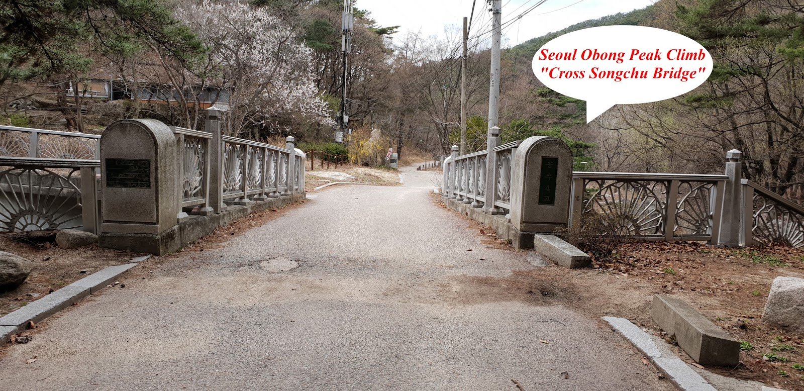
Distance and
Course : About 9.75km. Course is Obong Information =>Yeoseongbong =>
Obong (683m Above Sea Level) =>Songchu Water Fall => Songamsa (Temple)
=> Obong Information. As introduced at KNPS (Korea National Park Support)
linked at below, you may shorten time and distance to 2 hours and 10 minutes
and 6.5 km respectively in case you return from Obong Peak to Obong Information, not move to
Songchu Water Fall. http://english.knps.or.kr/Experience/ParkContent.aspx?SEQUEN=25&ParkDiv=01&HikDiv02=01&MenuNum=1&Submenu=Npp&Third=HikingCourses&Fourth=01 ,
3. Access :
There are many different way to come to Obong
Information by means of public transportation. But I suggest you may use Subway
(Line No. 3 or 6) Line connecting to local Bus line (NO. 34) which you get off
Bulkhwang Stations at Line 3 or 6 and exit Gate 8 and walk about 280m at exit
direction where take Bus No. 34 at Bus Stop-Bulkhwang Stations and get off Songchu
Station (KNPS Song Chu Valley-34 times Bus Stops). You are requested to move
from there to Obong Information on foot, about 1.1km and twenty minutes walking
referring to Walking Map attached. If you use private car or taxi for the
transportation, you may simply put the destination as Songchu Obong Information
where you can start to straight forward to move Obong Peak Climb. In order to
move here and there by public transportation, It is very hard to pay public
transportation by cash or credit card in Korea. Therefore you should buy T
Money (electronic card) which you can electronically pay to subway station or most
bus in Korea. You can buy the T Money at Convenient shop everywhere or subway
station ticketing office and call them how much money card you want. They will
give you corresponding amount T Money Card against your payment.
4.
Overall Remarks.
I have mainly introduced Mountain Climb or
Trail to readers in Korean after visiting somewhat widely known to the Korean
so far and sometime even in English. But I recently realized I would better change
this introduction style to foreigners in English so that they could understand
Mountain and Trail in Korea and they may possibly try to visit these places in reference
to my Blogger introduction. This Obong peak Couse can be classified as medium
high level difficulty and generally well organized with proper safety system as
long as you keep following Course guideline and safety instruction. This Course
is generally divided with Hilly and rocky at right direction (Yeoseongbong) and
Songchu Valley Course at left (Songchu Water Fall). There is possibility you
may choose right to left or left to right. But I suggest you better take right
Course first as an ascending and secondly left Couse as a descending since
right Course is sharper and harder slope than left Course. It is the most high light
at this Course that you should not miss the outstanding beautiful Obong Peak as
well as Yeoseongbong Peak. You may surprisingly question how these rocks
standing on top of bigger mother rock at bottom and not rolling down under
harsh weather like strong storm or heavy rain. Nature is strange and mystery
which human can easily understand or solve. Please see the Obong picture attached.
5.
Detailed
Course Information
I headed to Obong Information where situated
at Bukhansan Mountain direction and started to climb up the Yeoseongbong after
the information. I met Wuldae Swamp Observation after 5 minutes walking from the
start and turned to left at that junction and found land mark saying 1.8km to
Yeoseongbong. I walked the hill on the round shaped stone stair and turned left
at hill top as you see at the attached photo and met land mark saying 1.5km
after about 10 minutes walking from previous land mark. I encountered very
sharp wooden stair as soon as finished rocky hill climb after about 50 minutes from
previous land mark as you see at the photo attached and eventually touched down
Yeoseongbong Peak after 10 minutes walking so hard and sharp wooden stair. As
you see at the Picture of Yeoseong rock, shape of granite has been changed and
transformed to just look like female pubic area. It is strange how this
transformation is making resemble to human body. I took a nice photo of
Dobongsan situating far distance from Obong and found the picture is so nice
like I took a photo at the Dobongsan Mountain, visual distance is too good to
photo at remote area today. It is 1.2km to Obong from there at Yeoseongbong. I
started to walk ridge road with comparably mild slope and met Obong Peak after
about 70 minutes climb from the Yeoseongbong. It was a land mark at Obong Peak
saying 5 km to Songchu Parking Lot 2. I saw a beautiful Jawunbong land scape at
the direction to descending to Songchu Parking Lot 2 and started to move to
Songchu Water Fall. You should meet bigger rock in front of heading down after
about 10 minutes walking down from Obong as an obstacle as you see at photo.
Please turn right and keep walking on the rocky and hilly road with safety hand
rope as photo view. You could find land mark saying 800m to Songchu Water Fall
after 40 minutes walking down from the bigger rock obstacle and reach the Water
Fall after further 15 minutes descending from the land mark. You could meet
Songchu Ranger Station where they should take care of disasters at Bukhansan like
accident of mountain climber or mountain fire. You could see Songamsa Temple at
left after 15 minutes walking down from the Ranger Station and still continue
walking down about 16 minutes more and meet Songchu Village at left. You may find
the same road which you used this morning from the Bus Stop at Songchu Station
to Obong Information and just keep walking down to the same Bus Stop but opposite
side lane and take same bus number 34 heading to Subway Station at Bulkhwang Station
and back to your origination.


댓글 없음:
댓글 쓰기