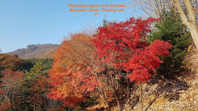
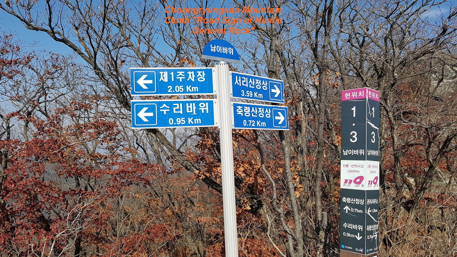
Nov 6, 2017 11:00 ~16:00 hours. Total distance is 8.7 km taking about 5 hours including rest and break. I took a decision to climb Choongryungsan locating at Soodong Myun and parked the car to Parking Lot 1 and checked information introducing three different Courses, first one climbing only Choongryungsan, second Seorisan only and third combined these two Courses, first one and Second one. as you see at Information as attached. I picked up third one and starting to climb at right way where Choongryungsan Summit. There are still two choice either you can start to climb Seorisan first and continue to Choongryungsan or Choongryungsan first and Seorisan second. I made my mind to move to Choongryungsan first and secondly Seorisan because Choongryungsan Course is more hard and difficult than Seorisan. It means I can use saved energy to hard Course first and use remaining energy to less hard Course, Seorisan. I was vigorously passing open-camping area where people stayed with their own tent and cooking themselves. There was Rocky Spring Sign about half an hours walking as you see at the attached photo. But it was not so easy to find the Spring near by. Therefore I skipped to check the Spring and keeping climbing up and found first wooden stairs leading to Soori Ridge. You can reach Soori Rock about 20 minutes walking where couple of eagles were lived at the Soori Rock area sometimes in old days as attached Photo. You can read more details at Introduction at the Photo. I took a break for a while at this area and took a photo for so nice nature view. I continued to climb up about 30 minutes and met Namie Rock where Namie General was sitting at this rock. You can see more description about the Rock at the information as attached Photo. Remaining Course is getting harder than earlier after the Namie Rock. There were several area where you should use rope for climbing up and also difficult rock road. You could finally reach Choongryungsan Summit (886 m) after 2nd stairs just under the Summit as you see at the Photo. I was walking down through rocky ridge road and met Road Sign which is indicating road direction as well as boundary between Choongryungsan and Seorisan after about 40 minutes waking. There was wider and smooth sloped and well prepared mountain road leading to Seorisan which they use for the transportation of heavy log and equipment from the Mountain to ground or visa-versa. If you keep walking ridge road after end of this mountain road about 20 minutes, you shall eventually meet Seorisan Summit (832 m). There are Royal Azalea Zone just under the Summit which is so dense and tightly grown. The raod walking dwon was so hard and steep that I could not normally walk dwon since fallen leaves were very slippery. I tumbled down and rolling dwon 3 ~ 4 times due to this slippery leaves just like walking on the ice. I regret I should take a stick with me when I left the home. I spet about one a hour walking dwon to Parking Lot 1 from Seorisan Summit. But there were very few raod sign and information which and where I was going down. I finally reached Parking Lot 1 via Accomodation Area (boading and lodging Zone)


 .
.


댓글 없음:
댓글 쓰기