2017년 11월 30일 목요일

Cheonmasan Mountain Trail-Yangju, Korea - Hike


November 15, 2017 11:00 ~ 14:00 hours. Total distance is 2.9 km and taking 3 hours. As introduced as the attached photo "Information. I have been mainly walking Well Known Trail Courses so far and made my mind changing walking Level and atmosphere to mountain Climbing and taking Cheonmasan today. There are four different, harder exercise mountain climbing Courses as first Course is Hopyungdong, second one Cheonmasan Station, third one Cheonmasan Administration Office (CAO) and fourth one Gagokri. I picked up thrid Course starting at Cheonmasan Administration Office and parked the car at Parking. I expected there would not be not many mountain climbers taking into it was Monday starting new week. But it made me surprised there were more cars parking at CAO Park than I figures when I parked the car at the CAO Park at 11:00 hour in the Morning. 

 I started to walk up cement stairs which is somewhat steeply inclined and longer. I was feeling a bit hard and could not speed up climbing up. There was a suspension bridge soon after climbing over the cement stairs. I crossed the bridge with some delightful shaking. I found I could connect the scheduled climbing Course without crossing the suspension bridge. It seemed there is no use and necessary this suspension bridge for a while. But I recognized this bridge was made for heavy rain or storm during raining season since people could normally walk through dried valley stream but they could not walk the flooded stream under heavy rain. Therefore this suspension bridge is for heavy rain. I climbed up sharply sloped course about 20 minutes and found Break Area and Shelter and further up physical exercise area. I continue to climb up trhough the stairs and met Galdakgogae as soon finished stairs. I could climb up somewhat less hard  course walking at Galdakgogae Ridge. It seems they were calling as this hill as Galdakgogae because stairs are so deeply slopped that very hard to take a breath during the stairs courses.  I was further up about 20 minutes and reached Beojokbong where small stone staking tower. It looks not so sharp hill as calling as a Beojokbong and seemed as normal mountain hill.  The Course was harder than before after the Beojokbong which we should use rope or rock or trees depend on course features and there were several area calling as a harder area. I tried to speed up my climbing but could not because of these harder areas even more than 40 minutes effort. I finally touched down Cheonmasan Summit (812 m) and looked down Namyangju City and found there were so many apartment in the City and some presently constructing more and more in trend of unusual living style, lovely living at the apartment. I forecasted apartment forest shall be everywhere in Korea soon here and there. I was wondering how people treat and dispose these apartments after validity is over, where and how to dispose concrete stuff and rebuild??  


I tried to take lunch at Break and shelter area on the way down to the park and set at open dining table and open the back pack. But it was so clod and windy and difficult to take a lunch at the Shelter area. I decided to return the car and pleasantly took a nice sandwich lunch at the car under protection of clod and windy.  


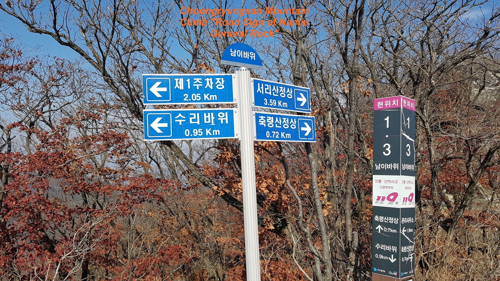
I fulfilled Cheonmasan Mountain Climb without major problem as scheduled. But I faced some difficulty to find the course because insufficient Road or Course Sign, losing the course for a while. There was no parking fee. But I thought CAO could collect the parking fee and may use upgrading course like more course sign or stairs or any other protecting facilities at risky location.


2017년 11월 27일 월요일

Choongryungsan and Seorisan Mountain Climb - Yanngju, Korea - Hike

Nov 6, 2017 11:00 ~16:00 hours. Total distance is 8.7 km taking about 5 hours including rest and break. I took a decision to climb Choongryungsan locating at Soodong Myun and parked the car to Parking Lot 1 and checked information introducing three different Courses, first one climbing only Choongryungsan, second Seorisan only and third combined these two Courses, first one and Second one. as you see at Information as attached. I picked up third one and starting to climb at right way where Choongryungsan Summit. There are still two choice either you can start to climb Seorisan  first and continue to Choongryungsan or Choongryungsan first and Seorisan second. I made my mind to move to Choongryungsan first and secondly Seorisan because Choongryungsan Course is more hard and difficult than Seorisan. It means I can use saved energy to hard Course first and use remaining energy to less hard Course, Seorisan. I was vigorously passing open-camping area where people stayed with their own tent and cooking themselves. There was Rocky Spring Sign about half an hours walking as you see at the attached photo. But it was not so easy to find the Spring near by. Therefore I skipped to check the Spring and keeping climbing up and found first  wooden stairs leading to Soori Ridge.  You can reach Soori Rock about 20 minutes walking where couple of eagles were lived at the Soori Rock area sometimes in old days as attached Photo. You can read more details at Introduction at the Photo. I took a break for a while at this area and took a photo for so nice nature view. I continued to climb up about 30 minutes and met Namie Rock where Namie General was sitting at this rock. You can see more description about the Rock at the information as attached Photo. Remaining Course is getting harder than earlier after the Namie Rock. There were several area where you should use rope for climbing up and also difficult rock road. You could finally reach Choongryungsan Summit (886 m) after 2nd stairs just under the Summit as you see at the Photo. I was walking down through rocky ridge road and met Road Sign which is indicating road direction as well as boundary between Choongryungsan and Seorisan after about 40 minutes waking. There was wider and smooth sloped and well prepared mountain road leading to Seorisan which they use for the transportation of heavy log and equipment from the Mountain to ground or visa-versa. If you keep walking ridge road after end of this mountain road about 20 minutes, you shall eventually meet Seorisan Summit (832 m). There are Royal Azalea Zone just under the Summit which is so dense and tightly grown. The raod walking dwon was  so hard and steep that I could not normally walk dwon since fallen leaves were very slippery. I tumbled down and rolling dwon 3 ~ 4 times due to this slippery leaves just like walking on the ice.  I regret I should take a stick with me when I left the home.  I spet about one a hour walking dwon to Parking Lot 1 from Seorisan Summit. But there were very few raod sign and information which and where I was going down. I finally reached Parking Lot 1 via Accomodation Area (boading and lodging Zone)


.

2017년 11월 21일 화요일

Namyangju Dasan Road Course 5- Yagju, Korea - Trail

Nov 10, 2017 10:00 ~17:00 hours. Total distance is officially saying as 17.9 km measuring at the maps but I figure about 21 km calculating as total number of steps (35,000 steps) divided by 0.6 m per step. It was 7 hours including lunch and losing time at the mountain path. It was a scheduled Course today from Woongilsan Station to Piano Waterfall. I checked Weather Forecast at Yangju today before I left home and learned It would be raining only in the morning and stop at afternoon and decided to go on the today's Course and would walk down to some where for protecting whenever and wherever it rains. As usual, I arrive at Woongilsan Station by subway line, two times exchange and exited the Station and turned right and continue about 5 minutes walking and right turn again under-pass at subway line. I was walking Jinjung 2 Ri small village where I could hard find road sign or information about Dasan Road 5 as "Moonansan Road". I eventually succeeded to find the Road Sign after losing about 15 minutes. But I lost the Course again soon and came across "Koryeojang Area" where younger people bury old live people at old times, lie down live people at gave hole with some food and covered with big stone cover. It was really hard to understand they did bury their parent or old live people for saving the food. I tried to find the Course Road and found land mark as Joan Post Office where I stood. I checked with map again and confirmed it was not so far from the Post Office to Songchon Elementary School connecting Moonansan Road and followed to climbed up the village hill. I walked a while and passed the Songchon Independent Park where wrong road direction. I simply disregarded this direction and slightly climbed over the hill where many dogs are farming and took a nice lunch at hill top. I found two road signs after walked down the hill and passed cemetery, the one is indication to Piano Water Fall right and the other left. I spent about 10 to 15 minutes to confirm which one was correct and recognized right was correct. I continued to walk national paved road about one hour and found a pottery shop positioning right at the side road of national road and looked like almost no side walk road, so closer positioning. there are tow dogs sitting at the walk road and holding with neck hold string. They barked and jumped so roughly that they could bite me if the string is cut or loosed. Therefore I crossed the road and keep walking the road. Those two dogs were as the same as before, even I was remote and enough away. from them. I walked about one hours on the national road and branched to village road leading to Jaejaechaegi Village and hill. I took a some rest at the hill and continued to climb up the mountain, Moonansan and so hard to find the road trace on the mountain and very seldom road sign. Newly dropped leaves were completely covered on the uncleared road. 119 Yellow ribbon was a only indication sign to destination to Piano Water Fall. It was suddenly raining starting somewhere middle of walking course at the Moonansan. I took a determination to walk down to some road or village for protecting the raining before dark start. I saw one Korean style house looks not so far and so decided to turn down to that direction. There was no trace people might walk down this area before and choose to follow valley stream going down. But slop and sharpness of the valley stream was too hard  to continue under heavy raining. I climbed up the hill and used to walk down. But slope was also so hard to walk down under heavy raining. I looked proper long and strong wood stick to support and protect my  positioning while walking down. I finally reached the House and found this house was not ordinary house but temple extension. I tumbled or fall down three or four times during the walking down because I unfortunately hold decayed trees some times whenever I need additionally to support. I wonder if I may continue to follow this Dasan Road Trail Course under following reasons. 1) Several Wrong Road Sign and Insufficient Road Sign 2) Walking at National Road where many duping trucks are running 3) Risk to meet Rough Dogs on the Course. I was therefore seriously considering changing Dasan Trail Course to other Course like Seoul Trail Course.