1.
Date and Time : Nov 1, 2018 07:00~12:30 (5 hours
and 30 minutes including half an hour break).
2.
Location: . Buhang-Town, Gimcheon-City,
Gyeongsangbuk-Province and Muju-District, Jeollabuk-Province and Yonghwa-Town,
Sangchon-Town, Yeongdong-Districr, Chungcheonbuk-Province
3. Distance and Course : About 16.95km.
Course is to start at Minjugisan Forest Recreation Center => Limdo Hyeushik
(Rest and Break Pavilion) => Limdo Junction => Daepiso (Shelter) =>
Minjugisan Summit (1241m Altitude) => Back to the Minjugisan Forest
Recreation Center. Please refer to the Choongbuk Yeongdong Minjugisan Hike Map and
https://www.youtube.com/watch?v=DRUsosiT128
4. Access :
There
is several ways to connect “ITX Seoul Station” connecting by subway lines No. 1,
4 and AREX). Please walk to the ITX Seoul Station from the Subway Station
taking 2 minutes for 240m and check boarding gate number at the information
sign board and follows the information and get on ITX bound for Yeongdong
taking 2 hours and 9 minutes. When you get off at the Yeongdong Train Station, please
walk to Yeongdong Station Bus Stop taking 2 minute for 102m. You could get on local
bus No. 143 and get off at Samchonri Bus Stop taking 1 hour and 37 minutes for
38 bus stop passing. You could walk to Minjugisan Recreation Center taking 10
minutes for 676m. Please refer more details to the “Transportation from ITX Seoul
Station to Minjugisan Forest Recreation Center”. You could simply take reverse
course on your way back home. I could estimate total transportation is about 4 hours
and half an hour including waiting times for one way which comes total 9 hours
for round trip. But you
would reduce this transportation time to 7 hours for round trip in case you use
private car or rent car which you could save two hours for the
transportation.  |
1,241m Altitude Minjugisan Summit Monument
|
5.
Overall
Remarks.
Minjujisan (Mt.) covers parts of 3 provinces;
Yeongdong in Chungbuk, Gimcheon in Gyeongbuk, and Muju in Jeonbuk, and draws an
8-kilometer-long main ridgeline to the north, connecting Gakhosan (Mt.),
Seokgibong (Peak), and Samdobong (Peak).
Sobaek mountain range stretching down to the
southwest from Taebaek mountain range, the spine of Korea, goes down to
Chupungnyeong (Ridge) and rises again to form Minjujisan (Mt.), located 15km
from Chupungnyeong to the southwest. This place holds the Mulhangyegok (Valley)
which is famous for its scenery. Anyone who has ever paid a visit here says
that they have never seen such a beautiful place. Especially, the valleys
connected from Daebul-ri to Seokgibong (Peak) and those from Mulhan-ri to
Samdobong (Peak) are over 5km in length, and renowned as the places that have
not been damaged at all. Also, the ridge between Samdobong and Seokgibong shows
a splendid scenery with full of various shrubs, azaleas and royal azaleas.
Also, this place holds beautiful sceneries such as Okso, Eumjuam,
Euiyonggolpokpo (Waterfall). On Samdobong (Peak), there exists a monument of
peace which people from 3 provinces (Chungbuk, Gyeongbuk, Jeonbuk) have raised to live peacefully without dispute
6.
Detailed
Course Information
I was
staying at Minjugisan Creation Center Lodge for three night covering near mountains
listed at 100th Korea Mountain like Cheontaesan, Daedunsan and
Minjugisan and could star to climb the Minjugisan quite early in the morning,
07:00 hour. This Lodge is a condominium style where we have to prepare
everything for temporally living like toiletries including necessary towels and
food stuff, no shop at the Center paying KRW35,000- per day. There is not bed
at the Center Lodge and sleeping on floor with matrass and blanket which is
available at each room. I used to try to arrange this kind of forest lodge
taking into account nearest and convenient to planned or targeted mountains
here and there. Anyway I came to hike start junction at the Center as see at
the photo and started to walk on mountain transportation road which is wide and
easy walking. This mountain transportation road was originally arranged for
transportation of forest products or related stuff. But we could walk on this road
comfortably for about 20 minutes and found landmark stating as 4.5km to
Minjugisan Mountain Summit. As I walked a few steps, I saw one neat pavilion at
right which we could take break and rest. I was continuously walking through
this road and found deep foggy around here and there on the course which made
me somewhat mysterious feeling under no artificial interference like human
sound or human made equipment noise. I kept walking on the road for about a
quarter minutes and saw next landmark stating as 4km to the Summit. I carried on
walking softly for half an hour and reached next junction mark stating as 2.8km
to the Summit at straight. When I was walking on the same road, I found sun was
rising and lighting to colorful mountain and valley which looked as great
nature view as see at the photo. I was keeping walking on the road for about
half an hour and met junction where either way going to the Summit at straight
or 5.5km to Ahnjeonggol at left. I took straight and walking on different condition
road than mountain transportation road before which was highly sloped and narrow
hiking road and somewhat slippery rocky road. I started to feel hard to breath time
by time according to higher elevation. As I was struggled against this so
steeper road for about a hour, I met one small spring which was a origin of Yongwahcheon-
Stream which looked as so insignificant water follow down. I was wonder how
this tinny water getting bigger and bigger and finally changing to big river,
Yongwha River. I was really and hardly fighting against so deeply steep uphill road
for an half an hour more and reached junction mark; only 300m to the Summit at
right and 2.9km to Gakhosan Mountain at left. I turned right and walking on
very sharp and narrow road for about 10 minutes and finally touched down
Minjugisan Summit Monument stating as 1,241m altitude and looked around surrounding
elegant mountains holding foggy could which looked as magnificent or spectacular
landscape or nature scenery. I took down on the camera as see at the photo. It
was minus 2 degree C in the morning at foot of the mountain this morning which
provably minus 4 degree C at the Summit area. I saw frosted trees just below
the Summit which made separate scenery between frosted area and unfrosted area.
I found this separate landscape was extraordinary picture which I could take only
at that time since frost so quickly melted soon. I decided to descend the
Summit through same road which I took this morning and back to the Minjugisan Forest
Recreation Center after two and half an hour downhill walking from the Summit.

 |
| Hike Course Start at the Yeongdong Minjugisan Recreation Center |
 |
| Waking on Mountain Transportation Road |
 |
| Rest and Break Pavilion at Walking Course |
 |
| 4.0 km to the Summit Junction Mark |
 |
| Continuously Waking on Easy Walking Road |
 |
| 2.8km to the Summit Junction Mark |
 |
| Keep Walking on the Same Road |
 |
| Elegant Landscape at Mountain and Valley |
 |
| Junction Mark; 1.4km to Summit at Straight or 5.5km to Ahnjeonggol at Left |
 |
| So Highly Sloped Gravel or Rocky Road |
 |
| Original Spring of Yongwha River |
 |
| Junction Mark; Only 300m to Summit or 2.9km to Gakhosan Mountain |
|
| 1,241m Altitude Minjugisan Summit Monument |
 |
| Spectacular Sounding Mountains with Foggy Cloud |
 |
| Spectacular Sounding Mountains with Foggy Cloud |
 |
| Spectacular Sounding Mountains with Foggy Cloud |
 |
| Frosted Trees and Non Frosted Trees View |
 |
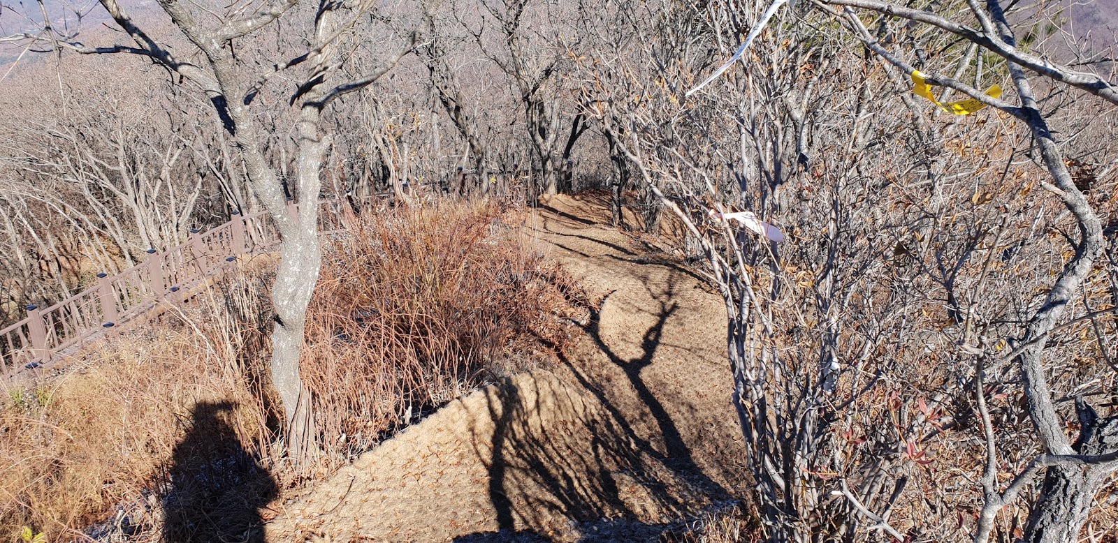
| Descending through Same Ridge Road at Summit |
 |
| Back to Parking Place in Minjugisan Recreation Center |


댓글 없음:
댓글 쓰기