1. Date and Time : Feb 17, 2019 10:00 ~17:00
(7 hours including one hour break).
2. Location : Naesongni-myeon, Boeun-District, Chungcheongbuk-Province and
Hwabuk-myeon, Sangju-City, Gyeongsangbuk-Province in Korea
3. Distance and Course : About 17.68km.
Course is to start at Beopjusa Parking Lot => Beopjusa Junction =>
Sesimjeong => Birobong Junction => Boeun Songnisan Cheonwangbong Summit (1058m
Altitude) and back to the Parking Lot through the same ascending course. Please
see “Choongbuk Boeun Songnisan Hike Map” and https://www.youtube.com/watch?v=mZsGsBB3b18&t=52s
4. Overall Mountain
Explanation.
Designated
as a national park on March, 1970, it is one of the 8 views in Korea. Songnisan
is located at the center of Sobaek mountain range deriving from Taebaek
mountain range to the southwest, and is on the border of Boeun-gun, Goesan-gun
of Chungbuk, and Sangju-gun of Gyeongbuk.
Songnisan
(Mt.), at 1057m above sea level, is based on granites mixed with sedimentary
metamorphic rocks. The part made of granites is sharp and that of metamorphic
rocks deeply bowled so that they form a scenic masterpiece, which leads to
other names such as Gwangmyeongsan (Mt.), Mijisan (Mt), or Little Geumgangsan
(Mt.).
Unique
peaks made of granites and vast forests covering the whole mountain form a
splendid scenery along with Beopjusa (Temple), the ancient shrine since
thousand years ago. There are 8 peaks, including Birobong (Peak), Gilsangbong
(Peak), Munsubong (Peak), along with Cheonhwangbong (Peak), the highest peak at
the center, and 8 stands such as Munjangdae, Yipseokdae, Shinseondae, and 8
stone gates.
5. Detailed
Hike Course Explanation.
I
left somewhat early in the morning on Feb 17, 2019 (Sunday) and trying to reach
Beopjusa Parking Lot around 9 o’clock, But I could not arrive there target time
schedule since there was unexpected traffic accident on the express way which
made me delayed more than half an hour and accordingly caused some more delay
at Boeun area and eventually arrived there just before 10 o’clock. I tried to
prepare hike for shoes and cloth as quickly as possible and headed to Beopjusa
temple direction and passed Beopjusa Main Gate after about less than half an
hour walking on asphalt paved road. As I passed the main gate, I could take
choice either way between asphalt paved road at right or King Sejong Road at
left, well treated soil road. I took the King Sejo Road and walked for few
minutes and found junction mark stating as 5.7km to the Cheonwangbong Summit at
Right or 200m to Beopjusa Temple at left. I chose right way and continuously walking
for about 5 minutes and met wide unpaved car transportation Road and kept going
along with this road. I saw temple stay halls at left which were situating at
cozy location under unpolluted pine tree forest. If I may have an opportunity,
I would like to try to stay at this Beopjusa Temple Stay Program. I passed
these temple stay halls and reached junction branching to forest small path
from car 800m to Taepyung Break at left and kept walking beautiful pine tree
forest for about 10 minutes and saw so quiet, neat and beautiful winter
reservoir at right and appreciated this so fantastic landscape for a while.
When I walked this pine tree forest road for about 10 minutes, I met next landmark crossing over the country road
and joined again with King Sejo Road and walking snowy and somewhat slippery deck
road for about half an hour and reached Sesimjeong Junction where I could go to
the Cheonwangbong Summit by 3km at right or to the Munjangdae Peak by 3,3km at
right. There was beautiful Korea traditional house behind the landmark and
learned this was a Sesimjeong House selling light food and snack to hikers. But
I took a right way and kept walking steeper uphill road, harder and more
inclined which was different hike road
from previous road so far. As I walked up this harder road for about 10
minutes, I reached junction between 600m to Sangwhanam Hermitage and 2.8km to
the Summit at right and 1.5km to Sanggoam hermitage and 1.8km to Gyeongeopdae
Rock at left. I turned right and carried on going up to the Summit. I found
hike course completely changing from here and severely harsh and difficult, even
scarcely breathing. When I was walking such so hard inclined path for about 20
minutes, I reached Sangwhanam Hermitage Unction stating as 2.4km to the Summit
at left. I looked down downhill and around peaks and valley for a while at the junction
and felt and found this opportunity was starting moment I could see and feel mature
wonder beauty. I was starting to continue ascend so severely inclined uphill through
rocky and slippery stone stairs or road and spent about half an hour for
struggling these hard hike paths and touched next landmark stating as 2.1km to
the Summit. When I saw huge and big rock at left, I found there was small and
narrow path under this huge rock and passing this road and continuously walking
the same hard and severe path for about 20 minutes and reached highly sloped
uphill wooden stair road. As soon as I finished walking these stairs, I was
smoothly connecting to ridge road, somewhat softly inclined. When I walked on
this ridge road for a few minutes, I met next landmark; still 1.3km to the
Summit. I was continuously walking snowy and slippery stair road for a half an
hour and touched Birobong Junction; 600m to the Summit at right and 2.8km to
Munjangdae Peak at left. I turned right and somewhat remotely saw Cheonwangbong
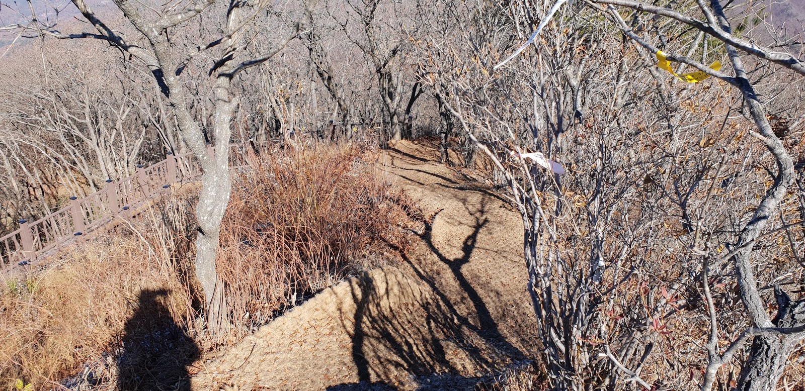
Summit and carried on walking the snowy narrow path at the small bamboo bushes as
see at the photo and found last steeper last wooden stairs approaching to the
Summit. I spent for about half an hour more and finally touched down the 1058m
Altitude Cheonwangbong Summit and started to appreciate splendid spectacular
panorama of surrounding landscape and mountains at the Summit. It was one more opportunity
I confirmed the reason why I spent effort and energy taking over the Summit. It
is hard to express all these natures scenery in writing and beyond human
expression. You could see either attached photo or linked Utube video. There
were lot of hikers coming on top who were waiting for each turn taking these
wonderful scenery on top. I so rushed to take a picture and video and jumping
out from the so small and narrow the Summit and started to descend the Songnisan
mountain and back to parking lot after seven hours hike including one hour break.
 |
| Beopjusa Parking Lot |
 |
| Heading Road to Boepjusa Temple |
 |
| King Sejo Road |
 |
| Boepjusa Main Gate |
 |
| Junction Between 5.7km to Cheonwangbong Summit at Right and 200m to Boepjusa Temple at Left |
 |
| Turn Right at Boepjusa Junction |
 |
| Junction; 800m to Taeryung Break at Left |
 |
| Quiet, Beautiful and Neat Winter Reservoir |
 |
| Lanmark; 1.4km to the Sesimjeong |
 |
| Joining Again with king Sejo Road |
 |
| Snowy and Slierry Deck Road to Sesimjeong |
 |
| Junction at Sesimjeong; 3km to the Cheonwangbong Summit at Right and 3.3km to Munjangdae Peak at Left |
 |
| Sesimjeong behind the Junction Mark Selling Light Food and Snack |
 |
| Junction Mark; 600m to Sangwhanam Hermitage at Right and 1.5km to Sanggoam Hermitage and 1.6km to Gyeongeopdae Rock at Left. |
 |
| Crossing Over Small Bridge on Rocky Stream |
 |
| Junction at Sangwhanam Hermitage; 2.4km to the Summit at Left |
 |
| Highly Sloped Stari Way |
 |
| Very Steeper Stone Stair Road |
 |
| More Inclined Uphill |
 |
| Landmark at Ridge ; 2.1km to the Summit |
 |
| Small and Narrow Path under Huge Rock |
 |
| More Vertically Sloped Stair Way |
 |
| Comparably Soft Ridge Road |
 |
| Landamr; 1.3km to the Summit |
 |
| Deeply Sloped Uphill Stair Road |
 |
| Junction Mark at Birobong Peak; Still 600m to the Summit at Right and 2.8km to Munjangdae Peak at Left |
 |
| Somewhat remotly View of Cheonwangbong Summit at Right and Junction |
 |
| Last Hard and Difficult Steeper Staris |
 |
| 1058m Altitude Cheonwangbong Summit |
 |
| Spectacular Surrounding Mountain Panrama |
 |
| Spectacular Surrounding Mountain Panrama at Different Angle |
 |
| Closer View of Myteriouse Rock Peaks Around the Summit |
 |
| Closer View of Mysterious Rocks at Birobong Peak |
 |
| Back to Ticket Control Point after 7 hours Hike |


