1.
Date and Time : Nov 15, 2018 10:30~14:00 (3
hours and 30 minutes including break one hours).
2.
Location : Namyangju City at Gyeonggi
Province in Korea.
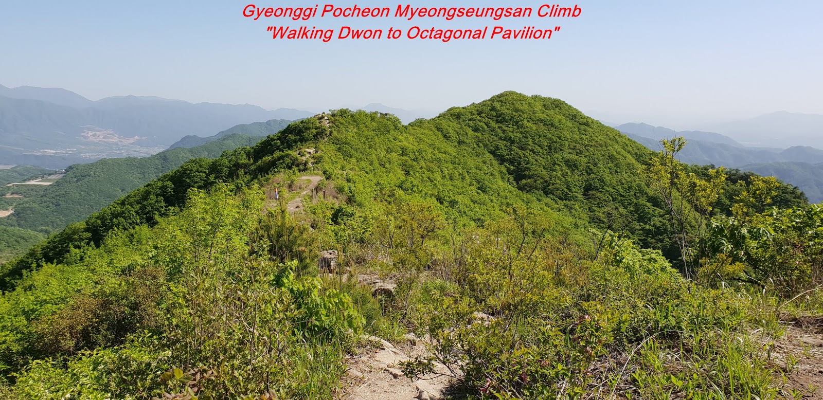
3. Distance and Course : About 5.46km.
Course is to start at Cheonmasan Parking Lot => Galdakbawi => Cheonmasan Summit
(812m altitude) => Sangyeobawi Samgeuri => Back to Cheonmasan Parking
Lot.
4. Access :
There
is various ways to connect Subway Line No.2 which you are supposed to get off
at Gangbyun Station and walking to Dong Seoul Bus Terminal through Gangbyun
Station, Gate No. 2 changing to Inter City Bus bound for Gwangneung. You are requested
to stay on bus about one hour and get off at Gwangneungnae Bus Stop and to walk
to Shincheon Bus Stop taking 4 minutes for 269m where you could change to local
bus No. 23 and get off at Hongneung Bus Stop taking 70 minutes for 55 bus stops
passing. Please walk to other Hongneung Bus Stop taking 1 minute for 53m. You
should get on local bus No 65 and get off at Changyong Villa Bus Stop taking 34
minutes for 21 bus stops passing. As you get off at the Changyong Villa Bus
Stop, you should walk to Cheonmasan Parking Lot taking 14 minutes for 910m.
Please refer more details to the “Transportation from Dong Seoul Bus Terminal to
Cheonmasan Parking Lot”. You could simply take reverse course on your way back
home. I could estimate total transportation is about three hours for one way which
comes total 6 hours for round trip. But you would reduce this
transportation time to 4 hours for round trip in case you use private car or
rent car which you could save two hours for the transportation.
5.
Overall
Remarks.
Cheonmasan (Mt. 812m) raises high
at the midst of Namyangju-city. Seen from the south, it looks as if a Great
Buddhist priest Dharma are sitting with his shoulders heaved, giving an
impression of composure and grandeur.
It is high and beautiful all year round which is covered with snow in winter, beautiful fresh greens in spring, dark green in summer, and red or d yellow in fall when leaves turn its color looks like a watercolor painting. Though it is not far and close to Seoul, it is suitably steep , beautiful and high for one day mountain climb. There is no less points comparing to other high mountains somewhat far from Seoul. It is so said that Imkkeokjeong (like a Robin Hood) established his headquarter at Machigogae (Hill) as his main boundary for his major activity.
According to a legend, when Mr. Lee, Seongge, founder and first king of Joseon Dynasty came to hunt here at the later Goyeo dynasty, he realized that Cheonmasan is very high and steep. So he questioned to following local district governor what the name of this mountain is. But the district governor answered as "I forget the name of this mountain”. Mr. Lee said to him "Wherever a man goes, there are numerous green mountains but this mountain is very high as if a scepter were inserted into the sky which he held in his hand when he later became a king in the Joseon dynasty. If my arms were longer than three Ja (about 3 meter long), I could touch the sky". Hence the name, Cheonmasan means a mountain which can touch the sky and originated from this story.
There is a high cliff rock near the southwest of the summit and people call it Yangmulbawi (Rock). As spring water gushing out of the rock all year round without stop, it is also called Yangmulbawisaem (Mineral Water Rock Spring). This mountain is suitable for one day hiking because there are a thick and spectacular forest and many mineral springs with good taste.
6.
Detailed
Course Information
There
are three major climb courses at Cheonmasan, fist one starting from
Hopyungdong, and second one from Cheonmasan Station and third one from Cheonmasan
Administration office. I choose third one starting at Cheonmasan parking Lot.
As I started to climb so steep wood bar Stairs at beginning, I was a hard to
move up through these steep stairs and could not so easily walked up the first lower
hill but very sharply sloped. I made a hard endeavor for climbing up the hill
and reached suspension bridge after about 10 minutes from the start. When I crossed
over the bridge, I saw alternative climb road down under the bridge which looks
easier and less hard. It seems this suspension bridge is only for emergency like
heavy rain or storm which could flood on lower climb road so that people could
only walk through this suspension bridge. I walked up for about 5 minutes after
the suspension bridge and found first landmark stating as 2.17km to the Summit.
I continuously walking and over the lower hill for about some more than 10
minutes and reached conveniently arranged break area for outdoor dining table
and toilet and some athletic facilities during break. I personally felt this
arrangement was an excellent idea. I kept walking up the sloped hill and stairs
for about half an hour and reached junction landmark stating the one to Summit
and the other to Cheonmasan Parking Lot standing at Galdakgogae on Ridge. As I
turned left at the junction, I naturally headed to the Summit through ridge
which is much less hard road. I kept walking through this ridge road about one
more half an hour and reached un-named stone tower at the middle of the road as
see at the photo. I found this road getting harder ridge road and sometime
steep rocky road and made a hard effort for about 40 minutes from un-named
stone tower and finally reached Cheonmasan Summit-812 m altitude as see at the
photo. I looked around at the summit and took a photo around the Summit and started
to walk down through wood deck and stairs road and continuously get down for
about 2 hours and returned to Cheonmasan Parking Lot where I parked the car
this morning.