1. Preface
Hangang River is one of Major River in Korea
which is starting flowing down from the Taebeak City in Gangwon Province, North
East to the Ganghwa Island in West Sea and which is almost dividing half of
country from North to South. Total flowing distance is estimating as 494km.
There are total numbers of bridges built around Seoul and it’s metropolitan in the
Hangang River as 32 pieces. But I will arrange to walk Hangang River from
Gangseogu district to Hanam City in Kyeonggi Province which is estimated as
total distance, 86 km and 26 walking hours and passing 22 bridges out of these
total 32 bridges. Each course is principally arranging based on about 13 km
distance and 4 hours walking time and starting from near subway station and
finishing at designated subway station. Please see more to Attached Walking
Course Summary Table and map below for bridges on the Hangang River.


2. Course Guide Information
Hangang River Walking Trek (HRWT) Course 5 is arranged from the Cheonho Station in Seoul Metro Line 5 or 8 to the Misa Station in Seoul Metro Line 5 as about 18 km walking distance for about 5 hours including one hour break. We will pass 5 bridges at the Hangang River during the course as shown at the summary map of the Course 5 as attached below. Please refer overall Video summary linked to https://www.youtube.com/watch?v=vQaT-8z5AOo.

2-1) Exit Gate 1 at the Cheonho Station in
Seoul Metro Line 5 or 8 where start the Course as see at Photo 1.
2-2) Move Forward the Hangang River Through
Olympic Express Highway Junction as see at Photo 2.
2-3) Branch at Right at the Junction toward the
HRWT Course 5 as see at Photo 3 and 4. Please refer to Hangang Park Sign on the
Cheonho Daekyo Bridge as well.
2-4) Walk Down to the HRWT Course 5 though
Connection Stairs from the Cheonho Daekyo Bridge to the HRWT Course 5 as see at
Photo 4.
2-5) Head to the the Hangang Coffee Shop under
the Cheonho Daekyo Bridge as see at Photo 5 and 6.
2-6) Turn Right at the Hangang Coffee Shop
Junction and Walk the Hangang River Shore Path as see at the Photo 7.
2-7) Beautiful View of Walker Hill Apartment
Complex Crossing Over Hangang River as see at Photo 8.
2-8) Pass the Cheongdam Street Parking at right
as see at Photo 9.
2-9) Turn Right at End of Hangang Shore Path
and Head the HRWT Course 5 as see at the Photo 9.
2-10) Return to the HRWT Course 5 as see at the
Sign as 7Km to Myeongil Park as see at Photo 10.
2-11) Hangang the Drone Park at Left Where
people could learn and practice the Drone as see at Photo 11.
2-12) Walk Strait Forward the Hangang Upstream and
Soccer Field at Right as see at the Photo 12 and 13.
2-13) Walk narrow exclusive walking path at
left as see at Photo 15.
2-14) Pass the Amsa Nadeulmok Junction where
exit to the Amsa Dong Area as see at the Photo 14.
2-15) Pass the Amsa Ecological Park where We
could observe though the Park Path, Slightly a part from the HRWT Course 5 as
see at the Photo 15 and 16.
2-16) Start to Take the Natural Ecological Park
Path as see at the Photo 17.
2-17) Start to Take the Natural Ecological Park
Path as see at the Photo 17.
2-18) Drop the Observation Deck Closer to the
Hangang River as see at the Photo 18.
2-19) Beautiful Scenery of Achasan Mountain and
Achasan Daekyo Bridge Crossing Over the Hangang River as see at the Photo 19.
2-20) Back to the Quiet Ecological Observation
Path as see at the Photo 20.
2-21) Pass the Sign Stating as Left to Continue
the Observation and Forward to Join the HRWT Course 5 and Further More Toilet
There as see at the Photo 21.
2-22) Continue to Observe the Amsa Ecological
Park at right as see at the Photo 22.
2-23) Pass the Amsa Daekyo Bridge, 3rd Bridge
at the HRWT Course 5 as see at the Photo 23 and 24.
2-24) Walk Up the Hill though Brown Lane at the
HRWT Course 5 as see at the Photo 25.
2-25) Beautiful Guamjeong Pavilion on Top of
the Hill as see at the Photo 26.
2-26) New Bridge which is under Construction Follow
Arrow on New Highway between Sejeong City and Ansung City as see at the Photo 27.
2-27) Keep Walking Hangang River Upstream to
the Godeok Riparian Ecological Park as see at the Photo 28 and 29.
2-28) Enter the Godeok Riparian Ecological Park
and Check Point where Visitors are Sup[posed to Take Disinfection Process as
see at the Phot and 30 and 31.
2-29) Pass the Cross Over Bridge and Move Up to
the Junction as see at the Photo 32 and 33.
2-30) Join the Junction with the HRWT Course 5
and Take a Narrow Path at Left which is at Lower Level at the Bank as see at
the Photo 34 and 35.
2-31) Keep
Walking the Narrow Path until the Gangdong Daekyo Bridge as see the Photo 36
and 37.
2-32) Pass
the Gangdong Daekyo Bridge, 4th One at the HRWT Course 5 as see at the Phot 37
and 38.
2-33) The
Break at Left Soon after the Gangdong Daekyo Bridge and Remotely Bulamsan Mountain
Crossing Over the Hangang River from the Break as see at the Photo 39 and 40.
2-34) Pass
the Next and Another Break where Brach to the Narrow Path at Left at Lower
Level on the Bank as see at the Photo 41 and 42.
2-35) Look
the Nice Small Island at the Hangang River which should be no human touch and
Only for Birds as see at the Photo 43.
2-36)
Back to the HRWT Course 5 as see at the Photo 44.
2-37)
Wonderful Scene of Three White Heron Searching Fishes together at the Creek
Branching from Hangang River as see at the Photo 45.
2-38)
Creek No Human Touch where You Could See Various Birds and Mammal like Water
Dear as See at the Photo 46. I saw it but failed to Take Photo Shoot.
2-29)
Back to the HRWT Course 5 and Keep Walking until Misa Daekyo Bridge as see at
the Photo 47 and 48.
2-30)
Turn Right at the Misa Daekyo Bridge and Walk Up Through Left Side Road at the
Junction under the Cross Over Bridge as See at the Photo 49.
2-31)
Pass the Hanam Tree Orphanage as See at the Photo 49, 50 and 51.
2-32)
Join the Misa Main Street, Turn Left at the Junction and Move Forward as see at
the Photo 52.
2-33)
Cross the Over Bridge on the Misa Main Street and Head Toward Misa Riverside
City Direction at left from Over Bridge as see at the Photo 53 and 54.
2-34) Continuously
Pass the Sing as 1 Km to Hanam Stadium, SK Petrol Station, KDB Academy as see
at the Photo 55, 56 and 57 Respectively.
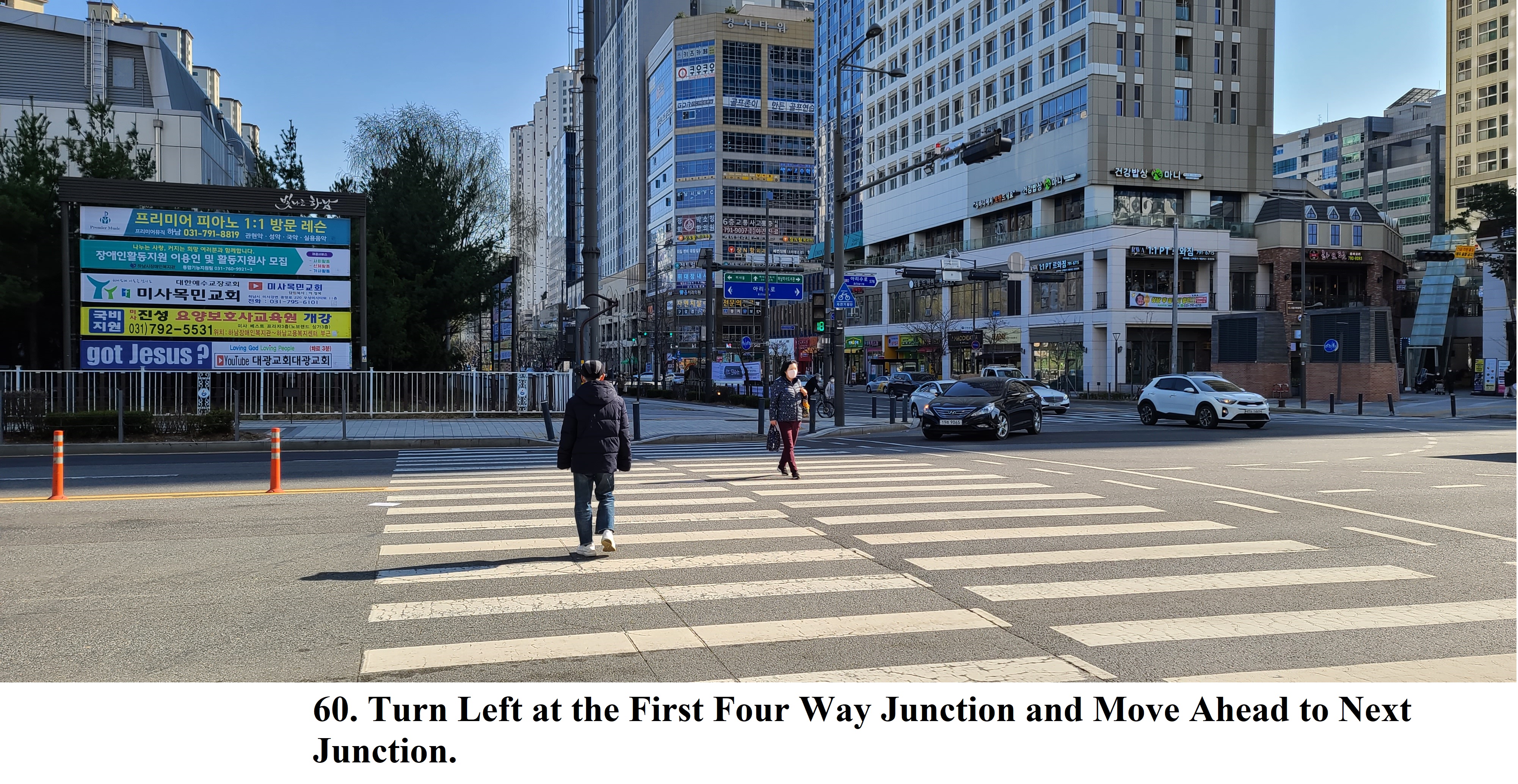
2-35)
Turn Right at the Hanaro Mart Junction and Move to the Next Four Way Junction
as see at the Photo 58 and 59.
2-36)
Turn Left at the Next Junction and Head to the Misa Station at the Next
Junction as see at the Photo 60 and 61.
3. Historic and Background Information
There are several places or spot where some
cultural and historic background which you may feel interest in or useful for
your better understanding. Please refer followings for brief explanation.
3-1) Cheonho
Dong and Bridge
The name of Cheonho Daekyo Bridge was originated
from the name of Cheonho Dong Area. The Cheonho Dong area was one of important water
transportation hub where left leader at the government was positioning for controlling
the hub. Original name was as Gokkyo Bridge meaning area including the curved
bridge which was later changed to Cheonho Daekyo Bridge.
3-2) Kwanginkyo Bridge
This bridge was in 1934 during the Japanese
Governing Period which was 2nd longest beautiful steel bridge in
Korea at that time. But this bridge was destroyed by Korean Army to make a
delay for North Korean Army Invasion toward South which was recovered or
repaired by the Americans in 1952 and eventually removed by the Korean
Government for severe aging and unbearable traffic increase on the Bridge and
Built new lager Cheonho Daekyo Bridge near to Kwanginkyo Bridge.
3-3) Amsa Dong Area and Amsa Bridge
This
bridge name was originated from Amsa Dong area where Amsa Pre-History
Settlement and Baekjungsa Temple in Baekje Period and Guamseowon Lecture Hall
there in Joseon Dynasty. The Kwangnarue Ferry Dock was connecting to Amsa Dong
area which naturally growing and creating suburbs around.
3-4) Hanam City
This name was originally putting by King Onjo
in the Baeje Period calling as Hanam Uiraeseong at that time. The King Gaero,
21th King in Baeje Period was ruling and controlling this area for 494 years
before King Jangsu in Goguryeo Period concurred. Therefore the King Gaero was inevitably
moving his capital, Hanam to Woogjin, presently Gongju City.
3-5) Missa Bridge
The Missa is the most important Catholic Bloodless Medication among religious ceremony which is interpreting as a another meaning why Catholic Church is existing.


댓글 없음:
댓글 쓰기