1. Preface
Nam Yangju City was originated and separated
from the Yangju City in 1980 which was divided into two cities, the one is
using old name as it is and the other new name as the Nam Yangju City. These
area presently covering Jinjeop Myeon District and Jingeon Myeon District was Calling
as Goluino Area in Goguryeo Period. Thereafter Present name of Yangju was
firstly appeared and found in year 936 during the time of King Wang Geon in
Goryeo Empire who was donating the Yangju Area to Last King Gyeonhwon in Hubaekje
Period.
2. Course Guide Information
Full Dasan Walking Trek Course is consisting
with 13 Courses for 179.8Km which are many overlapping or completely out of
main course rout. Therefore I rearranged the Dasan Walking Trek Course
referring to removing these unnecessary walking course and conveniently possible
daily walking distance (15 ~ 18 Km) and beautiful observatory scenery during
the Course. This rearranged Dasan Walking Trek Course is starting from the
Paldang Station to the Yangpyeong Station in Gyeonguei Jungang Train Line for
about total 17 Km and taking 4 hours including half an hour break. The Course
is starting to turn left at the Paldang Square just in front of Gate 1 at the
Paldang Station and walk for a while forwarding to the Yebongsan Mountain Hike
Junction where we pass the under pass tunnel as see at the Photo 05 attached. You
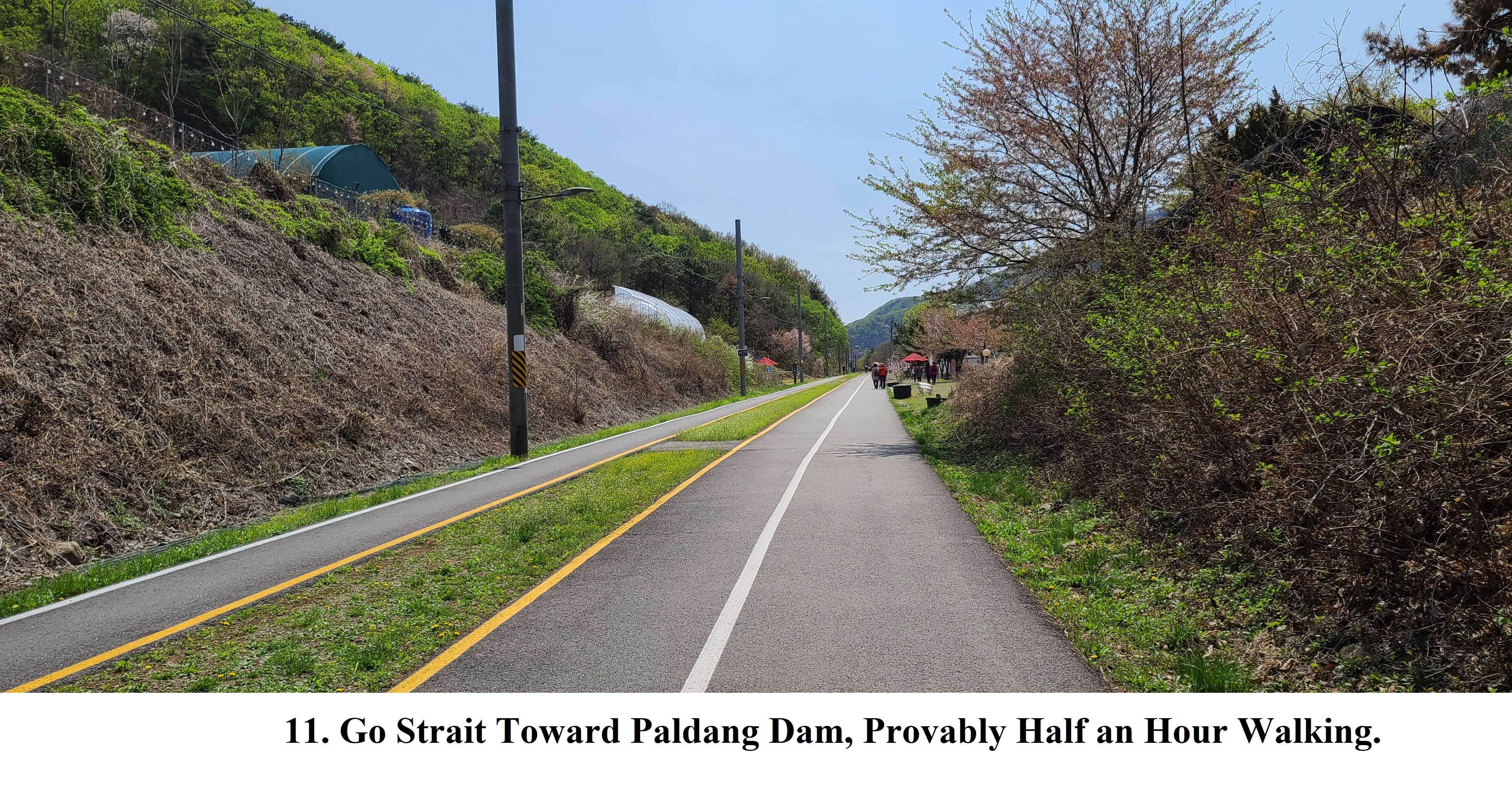
should turn left and walk strait forward the Paldang Dam direction as soon as
pass the under pass tunnel as see at the Photo 06. You could thereafter carry
on walking the Namyangju Walking Trek Course (NYWTC) alongside the Hangang River and
Paldang Lake until Neungnaeri Junction as see at the Photo 35 where we could observe
Jeong’s Historic Site as see at the Photo 36. There was very impressive scene
walking the Bongan Tunnel as see at the Photo 25. Thereafter we move toward the
Woongilsan Station as soon as finish the observation of Jeong’s Historic Site.
Please see the Dasan Walking Trek Course Map attached hereto and the overall
View link to
https://www.youtube.com/watch?v=o9wwY8mQJh0.


3. Historic and Background Information
There are several places or spot where some
cultural and historic background and which you may feel interest in or useful
for your better understanding. Please refer followings to brief explanation.
3-1)
Paldang Station
Paldang Dam Lake was artificially constructed where there were eight Sindang Houses around the Paldang Dam area and which means “Eight Sindang Houses”. The Sindang is a local or folk house where people arrange and believe the traditional local or folk god. The Paldang Dam is situated at about 6 Km from Paldang Station, 1/3 of Dasan Walking Trek Course which was starting to construct in 1966 and completing in 1973, seven years construction period. The Paldang Dam has been producing 5,600 Kwh electric power and daily suppling 2.6 million ton water to Seoul which they could use for flood control. .
3-2) Yebongsan Mountain
The Yebongsan Mountain, 683m high is situated among three towns as Paldangri, Joanri and Jinjungri which is facing to Jeokgapsan Mountain. Yegong means “Ritual for the Mountain”. The Yebinsan Mountain was situated at north of the Dumi Hyeopgok (Dumi Gorge) , old area name of Paldang area and Geomdansan Mountain at south of the Dumi Hyeopgok where Hangang River was flowing through the Dumi Gorge. There was Mieencheon Village at the gorge entrance to Yebongsan Mountain where excellently beautiful girls were bone there. But most these girls were die at age about 15 ~16 years old. People said they could not find handsome man who could go well together with these beautiful girls
.3-3) Dumulmeori Village
Almost all visitors visiting to Seoul through Gwandong Daero Road from East area should pass the Dumulmeori Village where these people arranged to take care of their horses at this village. The Dumulmeori means Two Rivers, South Hangang River originated at Taebaek City and North Hangang River originated at the Geumgangsan Mountain were joining together which was alternative area name as Yangsuri as the same meaning as Dumulmeori.
.3-4) Neungnaeri Village
There is Jeong Yeak Yong’s Born House at the Neungnaeri Village who were globally registered as UNESCO’s commemoration in 2012. Old Neunnae Station, no longer actual use but symbolic and memorial was built 1956 between Paldang Station and Yangsu Station as temporary station and later upgraded to normal station. But this station was finally closed in 2008. Local Government was rearranged this rail road for trek course, only bike and person use. Neungnae Station has been keeping old style house as almost same as about 65 years back.
3-5) Joamri Village
There was big rock at the Joamri Village which emit brilliant light reflection to everywhere whenever sun rising in the morning. Therefore they called this area as Achimdol (morning rock), means as morning rock. This area name was later changed to Joamri Village.
3-6) Woongilsan Mountain and Station
Woongilsan means as “cloud holding at the peak” which means could not pass over the Woongilsan Mountain because of high elevation, 610m altitude. This mountain was broadly loved by the visitors since famous Sujeongsa Temple on the mountain where climbers could enjoy for looking down nice view of Paldang Dam and its lake and Dumulmeori Village and its surround area.


댓글 없음:
댓글 쓰기