1.
Date and Time : February 21, 2018 10:40~16:40 (6
hours including break one hours).
2.
Location : Paju at Kyeonggi Province in Korea.
3. Distance and Course : About 7.9km.
Course is to start Gamaksan Parking =>Gamaksan Chulrungdari (Suspension
Bridge) => Woonkye Water Fall=> Beomryunsa Temple=> Gachibong Peak
=> Gamaksan Summit (675m Altitude) => Eimgeokjungbong Peak (676.3m
Altitude)=>Jangkunbong Peak => Chulrungdari (Suspension Bridge) =>
Gamaksan Parking.
4. Access :
There is various ways to connect Subway Line No.1 which you are supposed to get off at Deokjung Station and changing to local bus line, No. 25-1 at bus stop just in front of Deokjung Station. Please take the bus at Bus Stop ID: 39-521 walking through Gate No.1 at the station as you see at the map of “Changing Subway Line No. 1 to local bus line 25-1”. You should count how many bus stop this bus is passing and get off at Bus Stop ID:30-886 after 40 times stops as see the Map of “Get Off at the Gamaksan Suspension Bridge”. But 40 times bus stop does not mean actual bus stops but passing number of bus stop since bus shall not stop whenever no passenger, get on and off. Therefore you should pay attention from Get On Bus Stop to the Get Off Stop when you feel close, like 1 stop before as ID:31-367, two stop before as ID:31-654, three stop before as ID:31-372 and son. You would better saying to Driver as “Gamaksan Chulrungdari”. He most provably says as “Yes” or “No”. If he says “Yes”, you should then prepare to get off and do so at this stop. If he says “No”, you should wait some more. As soon as arrived and got off at the Bus Stop- Chulrungdari, you could walk to the Climb Start Point through Parking and Stairs, about 1.03km and taking about 15 minutes and meet the Suspension Bridge as see at the photo. You should take the same number bus at the bus stop 31-365 on the way back, crossing the road and opposite side of the road and asking the driver as “Deokjung Yeok”. If he says yes, take the bus and start to count again 40 times passing the stops and get off the Deokjung Station and enter to Subway Line 1 and connect to your final destination referring to subway line map which is available every station.
4.
Overall
Remarks.
As Gamaksan Mountain is closely situated to North Korean Boarder, there are some limitations around climbing course like no photo to military base, no entrance to any other area than designated route and so on. But there is no major limitation for Gamaksan Mountain Climb which you could not go as far as they are on the climb course. There are sometimes you could see less human polluted nature view on the way or down way because of this limitation. I would like to put remark in general there are neither landmarks written in English nor sufficient landmark for easy understanding complete route. There are provably enough traces for climb route which many people went up and down for long times so that you could find the correct way without landmark where you shall go. But problem remain to foreigners as no landmark or sign board in English. I hope this problem would be solved soon under cooperation with relevant local government, Paju.
5.
Detailed
Course Information
As
shown at the photo of the Climb Course indicated in scarlet with yellow, there
is a typical climb course, total distance about 7 km which Paju local Government
recommend to visitors. We could take a course as either going up through Woonkye
Ridge at left and down through Cheongkye Valley at right or reverse course. I came
to Gamaksan Park where people normally climb up the hill through somewhat steep
stairs as see at the photo and reached climb starting point just in front of
Gamaksan Suspension, 800m longest suspension Bridge in Korea. When I crossed
the suspension bridge, I met three way junction, the one to the Beomryunsa
Temple via the Woonkye Water Fall and the other to directly Beomryunsa temple.
I choose the former course and heading to Woonkye Water Fall which was completely
frozen, no water fall as see at the photo. When walked up the hill after the water
fall, I could join the main road to Beomryunsa Temple and continued to walk up
to the temple after 20 minutes from the climb starting point. There were originally
four major temples at Gamaksan Mountain named as Beomryunsa, Gamaksa, Wookyesa
and Woonrimsa. These all temples were unfortunately burned by fire or disappeared
by aging. The Beomryunsa temple was only reconstructed in 1970 and maintaining its
reputation at Gamaksan Mountain. I moved up to Observation Point from the Beomryunsa
about 10 minutes and found so nice looking Suspension Bridge down on the valley
and up to junction where I could go to Seon Hill-2100m at left and Beomryunsa-300m
and took Seon Hill direction and keeping climbing for 10 minutes and met
junction again, Seon Hill 1550m. As see at the photo, I walked on somewhat mild
sloped ridge for about 10 minutes and reached junction again, the one to
Woonkye Ridge-2.1km and the other to Seon Hill and turned to left to Woonkye
Ridge direction. I reached junction again saying Gachibong Peak-900m and
continued to climb for about 10 minutes and found landmark saying as 1380m to Gamaksan
Summit. I found more hard and steep rock road after the junction and hardly
climbed the rocky steep hill for 15 minutes and met junction again Gachibong
Peak-630m. I kept climbing for about 40 minutes and touched Gachibong Peak
showing Gachibong Rock looks as magpie beak as see at the photo. I finally
touched down Gamaksan Summit after 20 minutes struggling against rock and steep
hill and took a deep breath and looked around the summit area. I believe this
feeling and emotional healing is the main reason why people would like to challenge
Hard and Steep Mountain. I took short break on top and checked the Landmark saying
turn left to Gamaksan Suspension Bridge and delightedly walking down to left -
the Suspension Bridge. and Parking Lot. I
reached junction after about 5 minutes walking down and took a strait direction
to Jangkunbong Peak-220m. There was very difficult hill covered with slippery snow
and so sharp sloped after the Landmark and climbed over almost crawlingly on
the hill after about 20 minutes. I met junction saying just nearby to Eimgeokjungbong
Peak-5M and Jangkunbong Peak-200m so I went up first Eimgeokjungbong Peak-676.3m
altitude and continued to go to Jangkunbong Peak for within 15 minutes from the
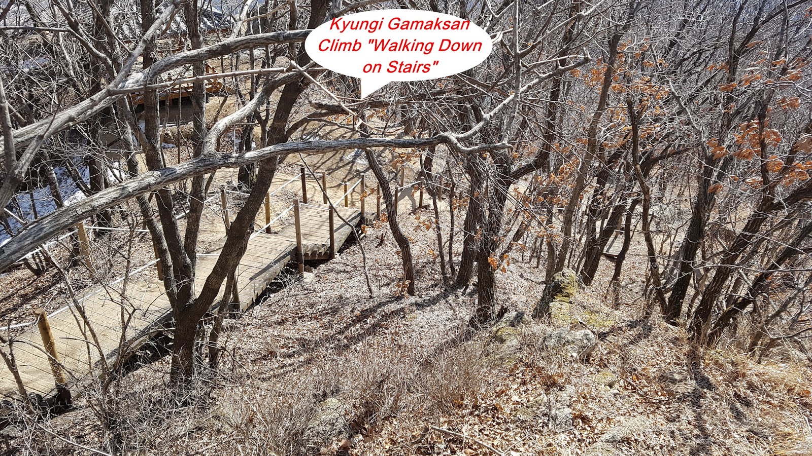
junction. When I was walking down for about 45 minutes through snowy and hilly road,
I met junction saying as 1700m to Suspension Bridge and turned right following
landmark direction. I found after 45 minutes walking down the junction saying 360m
to Beomryunsa Temple and turned right at the junction. When I walked on hill
pass about 10 minutes, I met junction connecting either to Beomryunsa Temple or
to the Suspension Bridge and took left to the SB direction and back to the
Parking Lot via SB after about 20 minutes walking. 


댓글 없음:
댓글 쓰기