2022년 4월 3일 일요일

Updated : Hangang River Walking East Course 4, South From Apgujeongrodeo Station to Cheonho Station in Seoul

 1.   Preface

Hangang River is one of Major River in Korea which is starting flowing down from the Taebeak City in Gangwon Province, North East to the Ganghwa Island in West Sea and which is almost dividing half of country from North to South. Total flowing distance is estimating as 494km. There are total numbers of bridges built around Seoul and it’s metropolitan in the Hangang River as 32 pieces. But I will arrange to walk Hangang River from Gangseogu district to Hanam City in Kyeonggi Province which is estimated as total distance, 86 km and 26 walking hours and passing 22 bridges out of these total 32 bridges. Each course is arranging with about 13 km and 4 hours walking time and starting from near subway station and finishing at designated subway station. Please see more to Attached Walking Course Table and map below for bridges on the Hangang River.


2.   Course Guide Information

The Hangang River Walking Course 4 is arranged from Apgujeongrodeo Station in Shinbudangseon Subway Line to Cheonho Station in Seoul Metro Line 5 or 8 as about 14 km walking distance for about 5 hours, South including one hour break. We will pass 6 bridges at the Hangang River during the course as shown at the summary map of the Course 4 as attached below and also to linked to https://www.youtube.com/watch?v=Lf1UAvzsLoo.


2-1) Exit Gate 1 and Start at Apgujeongrodeo Station as see at Photo 1.

2-2) Walk toward next three-way Junction as see at Photo 2.

2-3) Walk Through Under-Pass Tunnel to Apgujeong Nadeulmok Junction as  see at Photo 3 and 4.

2-4) Turn Right at the Apgujeong Nadeulmok Junction 
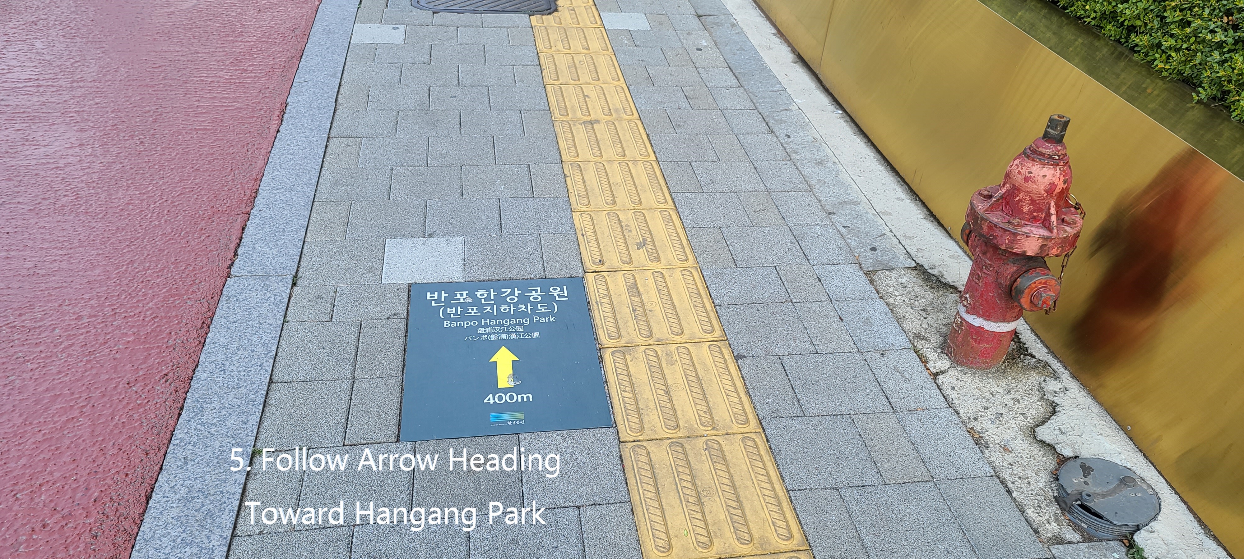
and Move toward Jamshil Daekyo Bridge in Hangang River as see at Photo 6.

2-5) Head Shinsa Nadeulmok Junction at Right as see at Photo 7.

2-6) Walk under Cheongdam Daekyo Bridge as see at the Photo 8.

2-7) Pass the Shinsa Nadeulmok Junction and continue to move forward to Cheongdam Daekyo Bridge as see at Photo 7 and 8.

2-8) Pass the Cheongdam Street Parking at right as see at Photo 9.

2-9) Walk alongside Tancheon Creek Junction as see at the Photo 10.

2-10) Cross the Tancheon Creek Bridge as see at Photo 11.

2-11) Turn left at the Tancheon Creek Bridge and head toward Hangang River as see at Photo 12.

2-12) Move forward Jamshil Daekyo Bridge and Lotte World Tower in front as see at the Photo 14.

2-13) Walk narrow exclusive walking path at left as see at Photo 15.

2-14) Pass the Dongbang Myeongju, Chinese restaurant floating at Hangang River as see at the Photo 17.

2-15) Pass the Shincheon Nadeulmok Junction at right as see at the Photo 18.

2-16) Pass the Jamshil Ferry Dock at left floating at Hangang River as see at Photo 19. .

2-17) Pass the Jamshil Saenae Nadeulmok Junction and Clock Tower, well-known as good meeting point as see at the Photo 20.

2-18) Pass Jamshil Daekyo Bridge and its Eodo, fish-way and by pass Jamshil Daekyo Dike as see at the Photo 21.

2-19) Walk the deck road down to the Jamshil Eodo, fish-way path as see at the Photo 22.

2-20) Pass the Lotte World Tower at right, 555m high and 125 story building and highest in Korea so far, No. 5 worldwide as see at the Photo 23.

2-21) Pass the Jamshil Eodo, exclusive for fish-way and by-pass Jamshil Daekyo Dike as see at the Photo 24.

2-22) Pass the Jamshil Nadeulmok Tunnel Junction at right as see at the Photo 25.

2-23) Walk the nice and neat Exclusive Walking Road as see at the Photo 26.

2-24) Pass the Seongnaecheon Creek Bridge which is under Jamshil Railway Bridge as see at the Photo 27.

2-25) Take Songpa Dulraegil Trekking Course as see at the Photo 28.

2-26) Follow Arrow Mark at Songpa Dulraegil Sign as see at the Photo 29.

2-27) Continue to walk Hangang Walking Road guided with nice poplar trees at left as see at the Photo 31.

2-28) Pass the Olympic Daekyo Bridge and keep walking toward Cheonho Daekyo Bridge as see at the Phot 32.

2-29) Pass the Poongnap Toseong Nadeulmok Tunnel Junction as see at the Photo 33.

2-30) Pass the beautiful weeping willow trees on way to Cheonho Daekyo Bridge as see at the Photo 34.

2-31) Turn right at Cheonho Daekyo Bridge Junction as see the Photo 35 and 36.

2-32) Step up to Cheonho Daekyo Bridge through connecting stairs from ground to the bridge as see at the Phot 37 and 38.

2-33) Turn left at stair junction to the bridge and move forward Cheonho Station in Seoul Metro Line 5 or 8 as see at the Photo 39, 40 and 42.

2-34) Nice View of 88 Olympic Expressway from Cheonho Daekyo Bridge as see at the Photo 41.

2-35) Enter into Gate 1 at Cheonho Station in Seoul Metro Line 5 or 8 as see at the Photo 43 and 44. 

3.   Historic and Background Information

There are several places or spot where some cultural and historic background which you may feel interest in or useful for your better understanding. Please refer followings for brief explanation.

3-1) Yeongdong Daekyo Bridge and Yeongdong Meaning 

This bridge was built with 6 lane and 1,065m long connecting Seongsu Dong in north Hangang River to Cheogdam Dong in south Hangang River and officially opened in 1973 as 7th opening Hangang River Bridge which was a role of Gangnam District Development. Yeongdong means long bridge in East of Hangang River.

3-2) Cheongdam Daekyo Bridge and Cheongdam Meaning

This bridge was in 1993 built with 6 lanes width and 1,211 m long which was designed double deck bridge, main deck for car transportation and under deck for Seoul Metro Subway Line 7 and opened main deck bridge in 1999 and under deck bridge in 2001 respectively. Cheongdam means Clean Conversation, socially and politically unpolluted.

3-3) Jamshil Daekyo Bridge and Jamshil Meaning  

This bridge was built and firstly opened in 1970 with 6 lane width and 1,280m long which was secondly opened in 1972 as 6th opening Hangang River Bridges. Special design was reflected to dike and Eodo (fish-way) under the bridge. This bridge was expanded to 8 lanes in 1997 and officially opened in 2003 and uniquely connecting to Seokcheon Lake and Lotte World Tower at south Hangang River.


Updated : Hangang River Walking East Course 3 Alongside Hangang River, South from Shinbanpo Station to Apgujeonrodeo Sation in Seoul

 1.   Preface

Hangang River is one of Major River in Korea which is starting flowing down from the Taebeak City in Gangwon Province, North East to the Ganghwa Island in West Sea and which is almost dividing half of country from North to South. Total flowing distance is estimating as 494km. There are total number of bridges built around Seoul and it’s metropolitan in the Hangang River as 32 pieces. But I will arrange to walk Hangang River from Gangseogu district to  Hanam City in Kyeonggi Province which is estimated as total distance, 86 km and 26 walking hours and passing 22 bridges out of these total 32 bridges. Each course is arranging with about 12 km and 4 hours walking time and starting from near subway station and finishing at designated subway station. Please see more to Attached Walking Course Table and map below for bridges on the Hangang River.


2.   Course Guide Information

Hangang River Walking Course 3 is arranged from Sinbapo Station in Seoul Metro Line 9 to Apgujeongrodeo Station in Sinbudangseon Subway Line as about 13 km distance walking alongside Hangang River for about 4 hours, South including one hour break during the Course. We will pass four bridges at the Hangang River. Please see followings are summary map of the Course 3 and also liked to https://www.youtube.com/watch?v=qz7LYhqH2g8.


2-1) Exit Gate 2 and Start at Shinbanpo Station as see at Photo 1.

2-2) Walk toward Seoul Express Bus Terminal Junction as see at Photo 2.

2-3) Cross the Seoul Express Bus Terminal Junction as see at Photo 3.

2-4) Turn Left at the Junction and Move toward Banpo Bridge in Hangang River as see at Photo 4.

2-5) Follow Arrow mark as see at Photo 5.

2-6) Walk down through walk tunnel as see at the Photo 6.

2-7) Turn right at the under-tunnel junction as see at Photo 7.

2-8) Step down through under-pass tunnel stairs as see at Photo 8.

2-9) Turn right at rotary junction which is at end of the walk tunnel as see at the Photo 9.

2-10) Cross the rotary drive road and move toward Hangang River as see at Photo 10.

2-11) Turn right at the square which is under Banpo Daekyo Bridge and walk alongside the Hangang River as see at Photo 11.

2-12) Continue to walk toward Hannam Daekyo Bridge as see at the Photo 12.

2-13) Pass Jamwon Hangang Park and Break area as see at Photo 14.

2-14) Return the Hangang Walking Road from Hangang River Shore-Side Road as see at the Photo 15.

2-15) Separate from the Hangang Walking Road and walk exclusive walking road as see at the Photo 16.

2-16) Walk stone tiled road as feeling like as real country road as see at Photo 18. .

2-17) Pass the Seoul Wave Art Center for Gallery Café as see at the Photo 20.

2-18) Pass Monarch Yacht Club for pub and restaurant as see at the Photo 21.

2-19) Back to the Hangang Walking Road and move toward Hannam Daekyo Bridge as see at the Photo 22.

2-20) Pass the Hannam Daekyo Bridge toward Seongsu Daekyo Bridge as see at the Photo 26.

2-21) Pass the Break and Sport Facilities which is under Hannam Daekyo Bridge as see at the Photo 27.

2-22) Pass the Jamwon Nadeulmok Tunnel Junction as see at the Photo 29.

Shinsa Nadeulmok Junction at right as see at the Photo 16.

2-23) Pass ON for pub, café and restaurant as see at the Photo 30.

2-24) Pass the USCO for pub and restaurant as see at the Photo 31.

2-25) Keep moving toward the Dongho Daekyo Bridge as see at Photo 32.

2-26) Pass the Seongsu Daekyo Bridge as see at the Photo 34.

2-27) Drop by small park under Seongsu Daekyo Bridge as see at the Photo 35.

2-28) Join the Hangang Walking Road and keep walking toward Apgujeong Nadeulmok Tunnel Junction as see at the Phot 38.

2-29) Pass the Apgujeong Nadeilmok Tunnel Junction as see at the Photo 42.

2-30) Exit the Tunnel Junction and join the three way junction as see at the

either Photo 43.

2-31) Walk toward first four-way junction where Apgujeong Rodeo Subway Station is below as see the Photo 44.

2-32) Enter Gate 1 in Shinbundang Subway Line as see at the Phot 45.

3.   Historic and Background Information

There are several places or spot where some cultural and historic background which you may feel interest in or useful for your better understanding. Please refer followings for brief explanation.

3-1) Banpo and Banpo Daekyo 

Banpo was originated from Seori and Seori which means “brook flowing round and round looks like snake’s coiling which is inclusive of additional mean as looks like water over flow at the brook”. This Seori was changed its  pronunciation as Banpo taking into consideration writing in Chinese letter, no Chinese letter to Seori and Seori. Banpo Daekyo Bridge was built in 1982 to connect Seobinggo Dong, North of Hangang River and Banpo Dong, South of Hangang River. This bridge was firstly built two story structure in Korea and 1.2 km length. First story bridge is sometime sunken sometimes somewhat heavy rain but 2nd story bridge does not get any influence by normal heavy rain. This bridge was recorded at the Guinness Book on December 14, 2008 as the longest time water jetting bridge in the world.

3-2) Hannam  Daekyo Bridge

Hannam Daekyo Bridge was built at Hangangjin ferry dock which was a main transportation route from Hangang South to North. Traffic was inevitably heavy and heavy depend on time by time which is still one of heavy traffic jam bridge in Hangang River. This bridge was originally built with 4 lane and 913 m long in 1966 which was later expanded to 6 lanes in 1969.

3-3) Seongsu Daekyo Bridge  

This bridge was built and opened in 1979 with 8 lane and 1,161m long which was rebuilt in 1997 due to bridge collapse in 1994. This bridge was opened for mainly boosting the development of Yeong Dong area in south of Seoul where somewhat poorer development than Seoul core and downtown area  in north of Hangang River at that time. This bridge is now multihul function connecting between south and north in Seoul as well as between east and west in Seoul.

This bridge was collapsed in 1994 as bridge deck (about 50m) was falling down between bridge column 5 and 6. Please see following collapsed picture. Korean Government took a decision not to repair the collapsed bridge but to completely rebuild. The Collapsed reason was confirmed due to poor maintenance at the bridge column foundation which was affecting by  all-time flowing river.


3-4) Dongho Daekyo Bridge

This bridge was starting to build between Oksu Dong in north Hangang River and Apgujeong Dong in south Hangang River in 1980 as old name as Geumho Daekyo Bridge which was opened in 1984 as present name as Dongho Daekyo Bridge, changing its name in reference to old name of Dongho Ferry Dock at Oksudong area. This bridge was built with 8 lane width and 1,161m long.