1. Date and Time : Nov
13, 2018 09:00~16:00 (7 hours including one hours break).
2. Location
: Donghae-si and Hajang-myeon (Town), Miro-myeon (Town),
Samcheok-si (City), Gangwon-do (Province).
3.
Distance
and Course : About 13.83km. Course is to start at Dutasan Daedje Hill Parking
Lot => Tonggoljae Hill => Dutasan Summit
(1,352.7m Altitude) => Back to the Daedje Hill Parking Lot through the Same Ascending
Course. Please refer to Donghae Dutasan Hike Course Mao and https://www.youtube.com/watch?v=HmjFhU-nQFM
4. Access :
There are various ways
to the Dong Seoul Bus Terminal where you could use subway or bus or taxis
depend on your situation. You could take Samcheok Intercity Bus Terminal at
Dong Seoul Bus terminal and get off at the Terminal 3 hour. But there is no
proper public transportation from there to Dutasan Daedje Hill which takes
about 40 hour only by taxi for more than 25 km. Therefore it would be too long
way to take a taxi for the trip as well as heavy cost for booking taxi on the
way back to the Samcheok Intercity Bus Terminal. So you would better take rent
car instead.
 |
| Donghae Dutasan Summit; 1,353m Altitude after 4 hours Ascending |
5. Overall Remarks.
Dutasan (Mt.) forms the shape of a Buddha lying down It stands in front
of Cheongoksan (Mt.) face to face with Bakdallyeong (Ridge) in the middle.
Thick forests and old pine trees take deep root into extraordinary cliffs of
Dutasan (Mt.) and it is designated as national tour site No.1 of Gangwon-do.
The word Duta means dismissing all agony and train for Buddhism. This
leads to the conclusion of Dutasan (Mt.) being strongly related to Buddhism.
Although there remain only 3 temples such as Samhwasa, Gwaneumam, and
Cheoneunsa now, Mureunggye seems to have been the center of Duta where Buddhism
flourished considering historical records that says there were over 10 temples
before.
By going about 4km into the southwest from Samhwadong, the entrance of
Dutasan (Mt.), there is a huge rock where more than hundreds of people can
rest. This rock is〈Mureungban (rock)〉, from which the famous Mureunggye is unfolded. Upon the
Mureungbanseok (rock) are carved the writings of Anpyeongdaegun, Han Ho
(Seokbong), Kim Gu and Yang Saeon, one of the 4 greatest writers of the Joseon
dynasty.
It's interesting that they are praising Dutasan (Mt.) with 12 letters
which are 'Mureungseonwon Jungdaecheonseok Dutadongcheon (武陵仙源 中臺泉石 頭陀洞天)'. Mureunggye of Dutasan (Mt.) originates
from the term 'Mureungdowon' (Paradise) in <Dohwaweongi> of Doyeonmyeong
in the Jin dynasty of ancient China. It means that this place is a whole new
world separate from the world. There is a site of a fortress, over 2Km in
girth, at the entrance of Dutasan starting form Mureunggye. Inside Mureunggye
exist famous rocks such as Mureungbanseok and Hoam, Beteulbawi (Loom Rock),
Haksodae, Byeorakbawi (Thunder Rock), Byeongpungbawi (Folding Screen Rock),
Daegweolteo (Site of a Castle), Munbawi (Door Rock). 3-tier Yongchupokpo
(Waterfall), Ssangpok (Waterfall), Chilseongpokpo (Waterfall), Bakdalpokpo
(Waterfall), Sangpok (Waterfall), Gwaneumpokpo (Waterfall) add savor to the
scenery. These outstanding sceneries has lured poets and artists to
Mureunggyegok of Dutasan (Mt.) since time immemorial. The peaks of Dutasan
(Mt.) are overlapped with those of Cheongoksan (Mt., 1.403m). Although Dutasan
(Mt.) is 51m lower than Cheongoksan (Mt.), people call the whole mountain
Dutasan (Mt.).
About 6-kilometer-long ridge connecting Dutasan (Mt.) and Cheongoksan
(Mt.) looks like a giant clothes rack, earning the nickname of Euigadeung
(meaning hanger shaped peak). By following the ridge which connects Cheongok
and Duta, you can realize the praises of old poets.
6. Detailed Course Information
As
I was staying at Galisan Forest Recreation Lodge, not far away, I could come
over to Daedje Hill early in the morning before 9 o’clock and parked the car at
Daedje free parking area. I found foggy was deeper and heavier than yesterday
at the Parking Lot. But I expected this foggy would be clear or lesser at
afternoon in reflection to sun rise. I first of all checked Hike Course Map at
the parking area and took a Course No. 1 which takes 3 hours for going up to
the Summit which means 6 hours for round hike. But I personally estimated about
7 hours for round hike taking into account my age situation, well senior.
Daedje Parking Lot was already elevating 800m altitude which means I could
climb over 537m elevation in fact. But distance to the Summit was a different
story which was nearly 14km for round hike, up and down. Anyhow I started to
walk on easy and wider mountain transportation road from the parking lot for
about 20 minutes and found this road was blocked with wood branch or log and
opening narrow hiking path at right as see at the photo. I just followed
indication and started to walk on slightly sloped uphill ridge road for about
10 minutes and reached first junction mark stating as 5.2km to the Summit at
left and 500m to Haedaeddeung at right which I walked for about 900m from the
parking Lot. This junction was situating on ridge road which was comparably
soft and at pine tree and larch and oak tree forest. I generally could not feel
so hard to walk up on this ridge road and walked on this ridge road for some
more than a quarter minutes and met next landmark; 4.8km to the Summit at
straight and 1.3km to the parking lot backward. I kept walking on the similar
ridge road for about three quarter minutes without break, only photo and video
and met next landmark; 3.9km to the Summit at straight and 2.2km to the Parking
Lot at backward. I started to realize this foggy was getting deeper and heavier
which was situating or moving to other direction than I expected before at the
Parking Lot. But I was continuously walking on the road for about half an hour
and faced next landmark stating as 3.3km to the Summit at straight and 2.8km to
the Parking Lot at backward. I kept walking uphill and found Dutasan Summit was
remotely revealed in front on the way walking which looked quite far there at
that time as see at the photo. When I made somewhat hard walking for about 40
minutes and reached Tonggoljae Hill which was the most hard and difficult
course today. The landmark was figuring as 2.1km to the Summit and 4.0km to the
Parking Lot at backward which meant I walked more than half at complete hike
course. I decided to take a short break there and carried on walking up the
most hard and difficult uphill course and struggled for some more than half an
hour and reached next landmark; 1.4km to the Summit and 700m to the Tonggoljae
Hill which meant I came over here 4.7km from the Parking Lot. I started to recognize
foggy getting worse and worse depend on time by time which were completely
opposite direction from my expectation at early in the morning. As I pitched up
to the Summit, I found it was not only dense foggy but also light hail around
the Summit which made me a scare or concerned since there was nobody I met up here
so far, even becoming somewhat darker. I was wondering for a moment if I would
continue to climb the Summit under such scared situation and finally took a
determination going up and touch the Summit goal that day and made last struggle
for about three quarter minutes and finally touched down Dutasan Summit 1,353m
altitude as see at the photo attached herein. But foggy was so deep and heavy I
could not see around and quickly took a picture around the Summit and descended
the Summit and back to the Parking Lot through the same course after 3 hours
from the top, total 7 hours for up and down which I took this morning.
 |
| Samcheok Dutasan Mountain Daedje, 800m Altitude |
 |
| Hike Start Way at the Parking Lot walking to Right Direction as Arrow Mark. |
 |
| Walking Through Mountain Transportation Road, Easy and Wide at Beginning. |
 |
| Turn Right at the Blogged Junction and Walking on Uphill Road |
 |
| First Junction Mark; 5.2km to the Summit at Left and 500m to Haedaeddeung at Right |
 |
| Turn Left at the Junction and Walking Comparably Soft Ridge Road |
 |
| Walking on the Similar Ridge Road |
 |
| Landmark; 4.8km to the Summit at
straight and 1.3km |
 |
| Keep Walking on Foggy Similar Ridge Road |
 |
| Landmark; 3.9km to the
Summit at straight and 2.2km to the Parking Lot |
 |
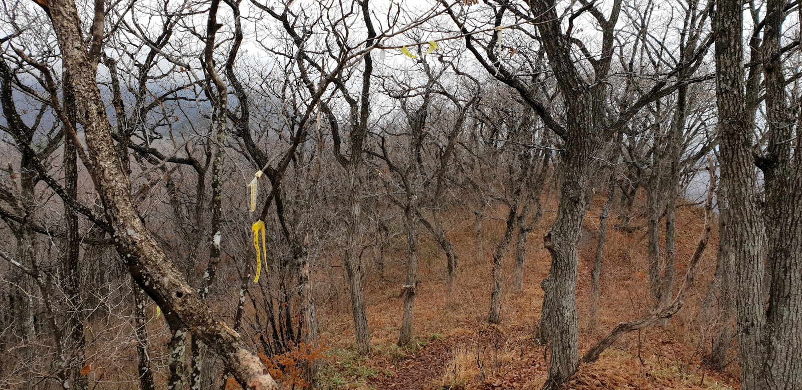
| Continued to Walk on the Similar Oak Tree Forest |
 |
| landmark stating as 3.3km
to the Summit at straight and 2.8km to the Parking Lot |
 |
| Dutasan Summit at Middle which was still far away |
 |
| Still Carry on Walking the Similar Soft Oak Tree Ridge Road |
 |
| Tonggoljae Hill Landmark, Hardest Course Zone; 2.1km to the Summit and 4.0km to the Parking Lot |
 |
| Steeper Uphill Road Start |
 |
| Steeper and Harder Uphill Road Start |
 |
| Landmark; 1.4km to the
Summit and 700m to the Tonggoljae Hill, 4.7km from
the Parking Lot |
 |
| Walking Through Last Pitch Uphill Road |
 |
| Approaching to the Summit under So heavy Foggy and Hail |
 |
| Descending Through the Same Way under So Heavy Foggy |
 |
| Back to the Daedje Parking Lot after 23 hours descending which means total 7 hours, Up and Down. |