1. Preface
Hangang River is one of Major River in Korea which is starting flowing down from Taebeak City in Gangwon Province, North East to Ganghwa Island in West Sea and which is almost dividing half of country from North to South. Total flowing distance is estimating as 494km. There are total number of bridges built around Seoul and its metropolitan in Hangang River as 32 pieces. But I will arrange to walk Hangang River from Gangseogu district to Gandonggu district which is estimated as total distance, 86 km and 26 hours walking and passing 23 bridges out of these total 32 bridges. Each course is arranging with about 12 km and 4 hours walking and starting from near subway station and finishing at designated subway station. You may find detailed information of the Hangang River bridges at Google Earth and Walking Course-East Alongside Hangang River, South as attached below.


2. Course Guide Information
The Course 1 is arranged from Jeungmi Station to Saetgang Station in Seoul Metro Line 9 as about 15 km distance walking alongside Hangang River, South for about 4 hours including 1 hour break during the Course. We will visit to Seonyudo Island where provably appropriate for lunch break on the way. Please see followings are summary map of the Course 1 and overall view at the linked YouTube https://www.youtube.com/watch?v=E3pXMuEPJ1E.

2-1) Starting at Jeungmi Station, Gate 2 in Seoul Metro Line No 9 and turn left at Jeungmi Station Junction as see at Photo 1 attached.
2-2) Cross the Gayang Block 9 Junction after
about 5 minutes walking and turn left in front of Gangseogu Library as see at
Photo 2.
2-3) Turn right at the corner of Gangseogu
Library after about 3 minutes walking as see at Photo 3.
2-4) Turn Left at the junction of Hwanggeumnae
Park after about 2 minutes walking from previous corner as see at Photo 5.
2-5) Walk the Ramp Road at the Hwanggeumnae
Park as see at Photo 8 after about 4 minutes walking from previous junction.
2-6) Pass the underpass tunnel as see at the
Photo 9 after the ramp road.
2-7) Join the Yeomgang Nadeulmok Junction, Left to West and Right to East as see at the Photo 10. Turn Right and head toward East.
2-8) Yeomchang Nadeulmok Junction after about
15 minutes walking from previos junction as see at Photo 15.
2-9) Pass the Anyangcheon River Junction, left
side Hangang River and right side Anyangcheon River as see at the Photo 16.
2-10) Cross Seonyudo Island Bridge as see at
the Photo 21 after about 40 minutes walking from the Anyangcheon River
Junction.
2-11) Drop off Seonyudo Island Park and take
lunch break at small square at the middle of the Park as see at the Photo 25.
2-12) Crossing over the Yanghwa Bridge
connecting with Seonyudo Island as see
at the Photo 29.
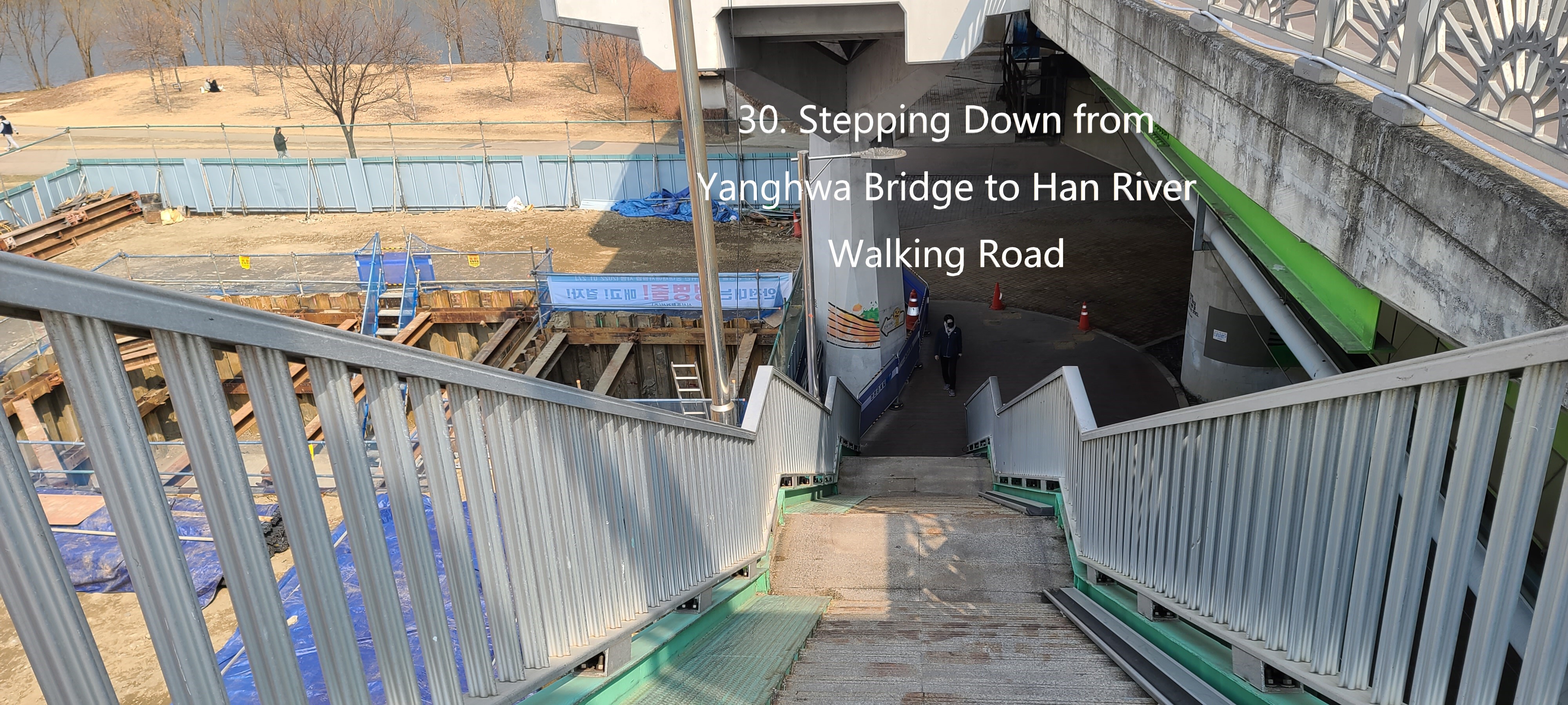
2-13) Stepping down through Yanghwa Bridge
Stairs as see at the Phot 30.
2-14) Return the Hangang River Walking Road and
head the National Assembly direction as see at the Photo 32.
2-15) Turn left at Three-way Junction as see at
the Photo 36.
2-16) Walk alongside with nice view poplar
trees standing on the Walk Road as see at the Photo 38.
2-17) Stop at the Yeouikyo Bridge and Cross the
Bridge as see at the Photo 42.
2-18) Cross the Yeouikyo Ogueri Junction as see
at Photo 44 and join the Gate 3 at Saetgang Station in Seoul Metro No. 9 as see
at the Photo 45.
3. Historic and Background Information
There are several places or spot where some
cultural and historic background and which you may feel interest or useful for
your better understanding. Please refer followings to brief explanation.
3-1)
Deungcheon Dong was originally
located at the ridge between Maebong Mountain and Yeomchang Mountain which was initially
called as “ Deungmaru Gol” as unique and pure traditional Korean. But this name
was later changed to Deuncheon Dong referring to Chinese letter.
3-2) Yeomchang Dong was principally called in Choseon Dynasty which means salt store house where most salt collecting from South and West sea and conveniently storing and transporting and distributing the salt to capital, Seoul. There is no more salt store house now days since no need such salt sore house in Seoul. They store the salt at production area and easily and quickly transport them to Seoul.
3-4) Yeouido Island was mainly for the use of livestock farming in Choseon Dynasty which government was taking care. Minority people were living in the island these days who were somewhat closed community. There was Yangmalsan Mountain at present location of the National Assembly House. Yeouido Airport was built in Yeouido Island in 1916 while Japanese was controlling Korea and used for Korea Air Force until 1917.


 |


댓글 없음:
댓글 쓰기