2018년 5월 25일 금요일

Seoul Gwanaksan in Korea- Yeonjudae Course - Hike


1.     Date and Time : May 19, 2018 09:30~15:30 (6 hours including break one hours).

2.     Location : Gwachun at Seoul City in Korea.

3. Distance and Course : About 15.7km. Course is to start Gwaneumsa Temple => Hippo Rock => Yard Rock => Gwanaksan Summit (629m Altitude) => Yeonjudae => Yeonjuam Temple => Gwachun Hyeangkyo.

4.     Access :

There are various ways connecting to the Dangsan Subway Station at Line No 2 or 4 where you are supposed to get off and exit Gate No.4. You should walk about 18 minutes for 1.22 km to Gwaneumsa Temple where you will start to climb the Gwanaksan Mountain today. When you exit the Gate 4, you would find Seoul City Bus Stop just near to Gate No.4 and find junction tuning to right after 10 ~ 15 m ahead. Thereafter you simply follow the village road referring to the map of “Walking from Sadang Station, Subway Line No.2 or 4 to Gwaneumsa Temple”. You could from there start to climb Gwanaksan Mountain. On your way back from the mountain, you should reach Gwachun Hyeangkyo at almost finish line of climb course today where you could start to move to Subway Station of Gwachun Government Complex. It would take about 16 minutes walking for 1.04km to the Station. Please refer to the map of “Walking from Gwachun Hyeangkyo to Gwachun Government Complex Station”.

4.     Overall Remarks.

There are five major hard and difficult climb mountains in Gyeonggi Province which are Wunaksan, Gamaksan, Hwaaksan, Gwanaksan and Songaksan. The Songaksan is unfortunately located at North Korea where we could not visit at present. This mountain, Gwanaksan is listed at the top five ranking which means climb to Gwanaksan is not so simple and easy but hard and difficult. When touch down the Gwanaksan Summit as well as Yeonjudae, you could find beautiful scenery around the Yeonjudae peak which I believe you would be sufficiently satisfied with these scenery against your hard effort or struggling works.  

Gwanaksan Mountain means shape of mountain looks like officer’s hat in old days which indicate grade of each person or officer depending on decoration or shape at the hat. Many poets or painters or scalars praised Gwanaksan as outstanding beauty for deep valley or stream or strange rocks on the way. This course is easiest access from Seoul downtown though convenient transportation likes subway or city connecting bus line. That is a main reason why about 7 million people annually climbed the mountain.

5.     Detailed Course Information

When you reach the Gwaneumsa Temple, you should see junction landmark saying as Yeonjudae 3.8km and Seoul Trail 2.6km to Nakseongdae.  Gwaneumsa Temple is not big but not small which keeps so neat, cute beauty. I shortly looked around the temple and left beautiful scenery at the photo. I took a right direction at the junction and sometime walking up and found beautiful transmission Tower Peak at right and keep moving up the hill and reached junction saying as 3.1km to Yeonjudae Summit (629m altitude) about 20 minutes walking. As I climbed on Transmission Tower Hill, I saw one more beautiful Toggibong (Rabbit) Peak at slightly right at front and so steep stairs slightly left at front which I should climb over as soon as I finish downhill. I continued to walk up on the rocky hill and steep stairs for about 50 minutes and met Hippo Rock looks where I saw Yard Rock sitting at next hill. As I climbed about 5 minutes more, I reached Yard Rock which is bigger flat rock which some people could conveniently take rest. I found visibility was so nice and good that I could see remotely sitting mountains like Bukhansan and Dobongsa which is about 30 to 40 km from Gwanaksan. I took a picture at mobile phone camera which adjustable focus function includes and successfully left a nice photo. When I saw Yeonjudae from the Yard Rock, I was some remote distance to the Summit and tried to take nice photo with adjustable focus with mobile phone and succeeded to keep so nice picture at the mobile phone camera. I passed rock gate on the way up to the summit and left photo as well. I continuously kept going up for about 40 minutes from the Yard Rock through last so steep steel and wooden stairs and neighboring peak to the summit and finally touch down to the Gwanaksan Summit (629m altitude) after about total 3 and half an hours struggling works. When I started to downhill for about 10 minutes from the summit, I came to observation point where I could succeed to take so nice photo of Yeonjudae as attached herein. I continued to walk down about 15 minutes and reached Yeonjuam Temple which was so nicely decorated for Buddha’s Birthday Celebration on May 22, 2018, after three days. I should walk down on downhill through curved and rocky or some time stairs along with Gwanaksan Valley and stream. You could see video file for typical example of valley stream attached herein. I found some people went down to the stream with family and enjoyed so cooled and clean water at the valley. As I walked down this road about one hour and ten minutes from Yeonjuam, I met junction saying 690m to Gwachun Hyeangkyo where I could start to move to the Subway Station as Gwachun Government Complex Station. You can reach to the station referring to the explanation at Article 4.                        


2018년 5월 24일 목요일

Gyeonggi Gapyung Unaksan Climb in Korea- Updated and Corrected - Hike


1.     Date and Time : May 21, 2018 11:30~16:30 (5 hours including break one hours).

2.     Location : Gapyung at Gyeonggi Province in Korea.

3. Distance and Course : About 12.83km. Course is to start Unaksan Information (Hapanri) => Muwoo Water Fall => Eyebrow Rock => Screen Wall Rock => Maitreya Rock => Mankyungdae => Unaksan Summit (937.5m Altitude) => Phallus Rock => Elephant Rock => Hyundeungsa Temple => Muwoo Water Fall and back to Unaksan Information.

4.     Access :

There are various ways to the Dong Seoul Bus Terminal where you could use subway or bus or taxis depend on your situation. You could take intercity bus there at Dong Seoul Bus terminal which takes about one hour to Cheongpyung Bus Terminal. You should change the Bus to Local Bus connection with bus line No 1330-44 which take about one hour to Unaksan Information (Hyundeungsa Entrance). Please refer to the map of “Transportation from Dong Seoul Bus Terminal to Cheongpyung Bus Terminal”. I estimate total transportation time from the Dong Seoul Bus Terminal to Cheongpyung Bus Terminal as about 5 hours and some more for round trip. But you would reduce this transportation time to 3 hours for round trip in case you use private car or rent car which you could save two hours for the transportation. 

4.     Overall Remarks.

There are two major routes at the Unaksan Climb Courses referring to the Map of Wunaksan Climb Course”, the one Cheongryeong (Blue Dragon) Ridge at right and Baekho (While Tiger) Ridge situated at right. Cheongryeong is consisting with sharp and beautiful shaped rock on the way but Baekho with steep and sharply sloped hill. You could take choice, either first hard and beautiful and send steep hilly down or vice versa. I would this time like to explain some story relating to Eyebrow Rock and Screen Wall Rock which you would see on the way up to the Unaksan Summit. There is Eyebrow Rock at Cheongryeong Ridge which I could not succeed to take a photo since rock is so closer to me and tickly covered with three and green leaves. Therefore I took a photo of introduction of Eyebrow Rock as you see he photo.

1)     One upon a time one bachelor came across a group of fairy who taking bath at valley pond. He stole the celestial robe of one fairy and waited for some time. All fairies at the group flew over the sky but one fairy remain and looking for celestial robe. A bachelor appeared in front of this fairy and offered as let‘s go down to my home. The fairy answered “O.K. I will get down with you. But please think how I could get down with any cloth?” He then “ Yes, this is you cloth and let’s get down together” As soon as she finished dressing of celestial robe, she started to flow over the sky and left “ I could possibly back to see you” But she never appear in front of this poor man. He thereafter came on the pot and waiting for the fairy until he die with white eyebrow, turning from black to white according go time passing.   

2)     One Indian monk which came to Korea for learning some more and spent a lot time in Korea and came across this Screen Wall Rock which is almost no way climb over the wall. He interpreted as I might climb over the Wall Rock which is a part of Buddha’s Will. I tried to climb over the so steep and sharp rock without any special facilities at that time. He finally fell down on the way up the wall and die without any remaining. Provably “He was doing for nothing”.  
3) Phallus Rock; There was our old customs which married woman must deliver son instead of daughter since generation should be pipelined through son. Therefore many women tried to do anything for taking a son that they prayed for folk religion. It was story some woman  succeeded to take a son after she prayed to Phallus Rock and spread the story to other women. Thereafter many women, not pregnant used to come there to pray. I do know all these women succeeded or not but some succeeded.

5.     Detailed Course Information

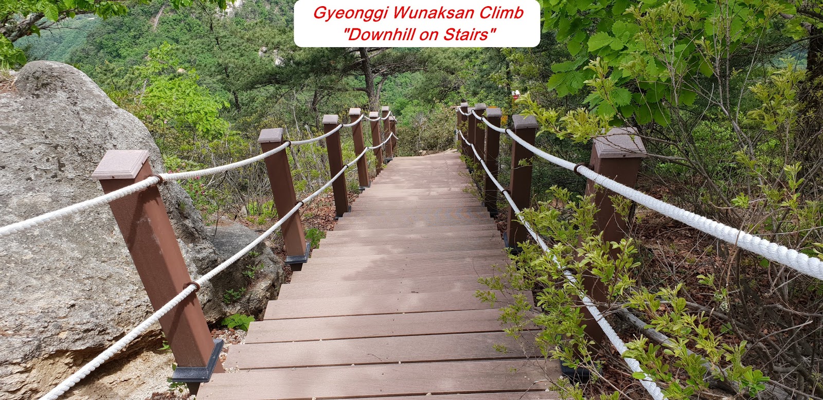
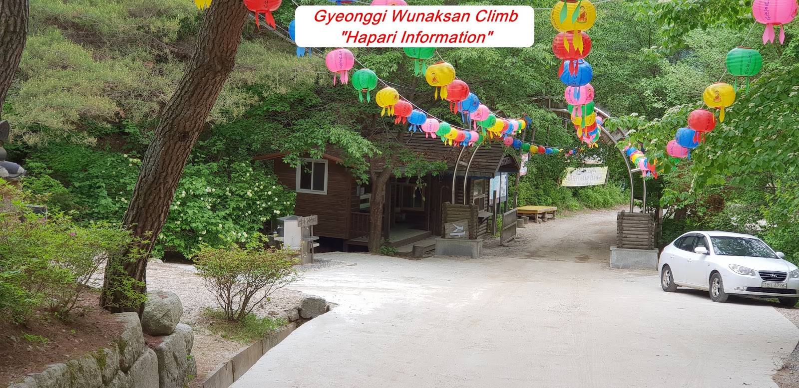
As introduced at the Map of Wunaksan Climb Course, I have started to move up from the Wunaksan Information where I could check climb course again before the climb. As explained at above paragraph 4, there are two possibly way to climb up to the Wunaksan Summit; the one is from left to right and the other opposite way, from right to left. I took the one course last time and decided to take the other course this time. There is no difference from Wunaksan information to Muwoo Water Fall because I used the same way regardless the one or the other. When I climbed on Wunaksan last March this year, there was almost no water at water fall which I could not see water falling scenery. But there was fortunately somewhat heavy rain which makes water fall looks like real water fall this time. There is junction, 2.16km to Wunaksan Summit where you could move up through Cheongryeong Ridge or Hyundeungsa Course. I could now start to climb the somewhat steep hill when I turned right at the junction. I could reach the Eyebrow Rock after about 20 minutes passing somewhat steep hill and sometime wooden stairs. I made about one hour hard endeavor to climb over rocky and narrow path with rope or anchor support as see at the Photo after the Eyebrow Rock and reached junction saying 900m to the Summit. When I climb few steps more, I found so spectacular view of Screen Wall Rock looks like facing broad valley with beautiful rock screen as see at the photo. I could not unfortunately see this rock as beautiful like this time due to dust level high at the air last time.  As I continued to climb over more difficult rocky and hilly path for about 20 minutes, I faced beautiful Rock of Maitreya, back side view. I struggled for about half an hour to climb over harder and more difficult rock path which I could pass only under support of safety rope support or anchor and reached Mankyungdae where you could see much scenery around the Wunaksan. When you paid harder climb over for about ten minutes more, you could eventually touch down Wunaksan Summit (937.5km). I started to downhill after shortly looking around the Summit through Baekho Ridge which estimate 3.12km to Wunaksan Information. When I downhill about 15 minutes, I reached observation Point where I took a nice view of Phallus Rock, maybe better than before. As walked about another 15 minutes downhill I met junction indicating to Wunaksan Information at left. I met Elephant Rock after about 5 minutes downhill from the junction. I continued to downhill through for about 40 minutes and reached Hyundeungsa temple, indicating 1.85km to Wunaksan Information. There was a wide and clean road from the temple which I could easily and comfortably walking down. As walked about 40 minutes on this road, I found Baekryun Water Fall which last more than 100 years and kept water falling view at the photo. When I walked down about 20 minutes, I could eventually return to original place, Wunaksan (Hapanri) Information.